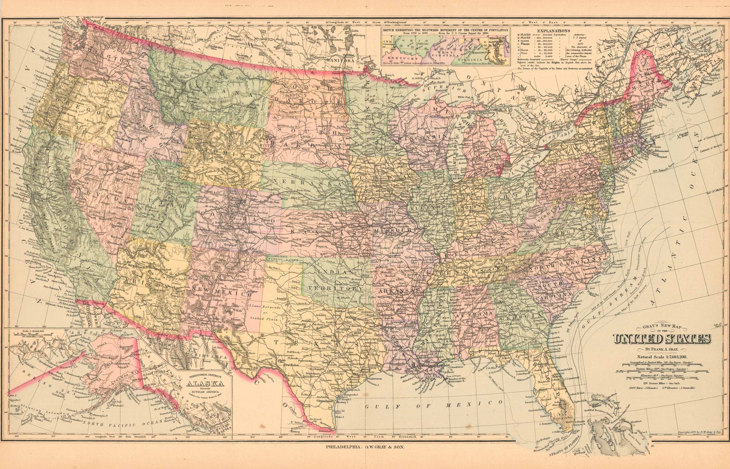
Grays New Map of the United States’
In stock
This hand colored map is from Stuarts Atlas of the State of Maine made in 1890 by J. H. Stuart & Co. The United States is illustrated on this double page map. Insets show Alaska and a sketch exhibiting westward movement. Pastel coloring and nicely aged paper make these maps great editions to the collections of residents interested in their local history.
Size: 27 x 16.5 inches
Condition: Very Good-age toning, holes at fold from binding
Map Maker: J. H. Stuart & Co.
Coloring: Original Hand Color
Year: 1890
Condition: Very Good-age toning, holes at fold from binding
Map Maker: J. H. Stuart & Co.
Coloring: Original Hand Color
Year: 1890
In stock


