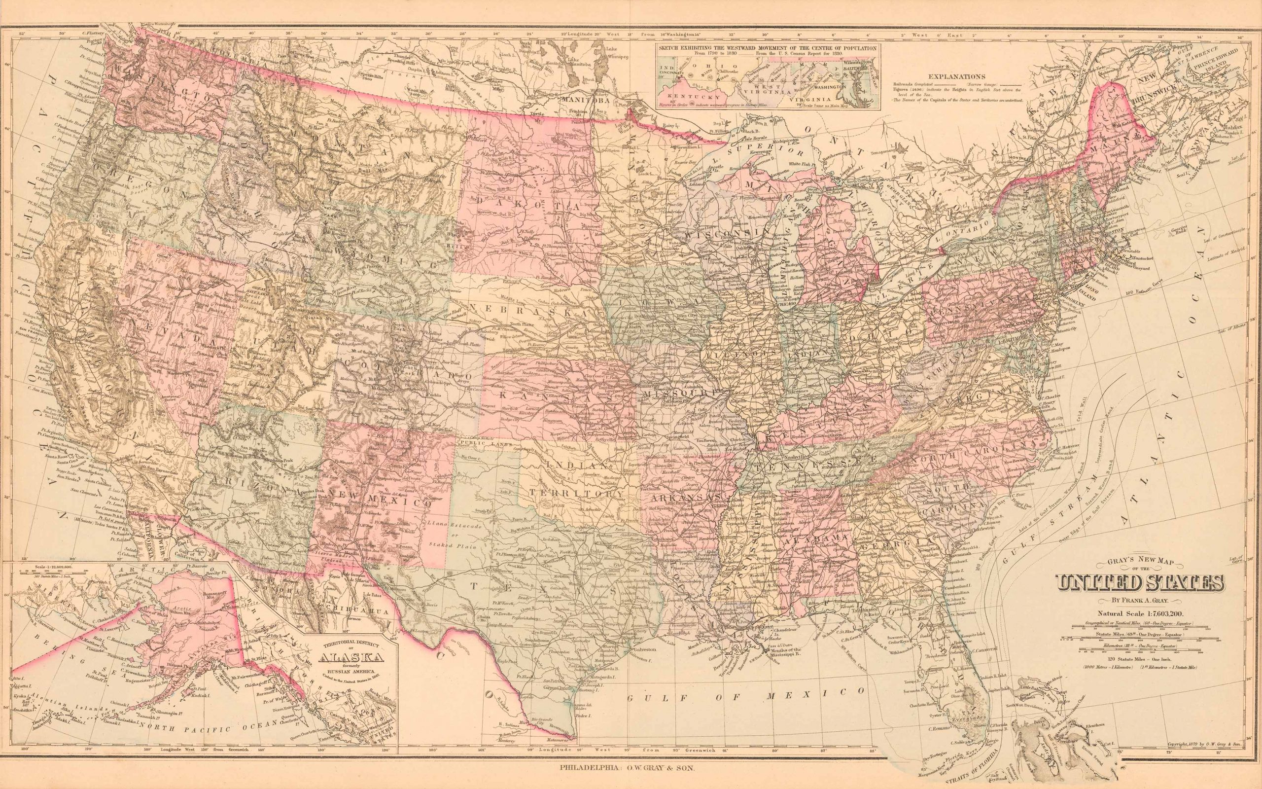
Grays New Map of the United States’
In stock
This beautiful, original hand-colored map of the United States came from the “Atlas of the State of Maine” produced by George N. Colby & Co. in 1884. Colbys atlas and the maps therein were produced in limited numbers for a short time, making city and county maps of Maine difficult to locate. This detailed map shows state and territorial borders, railroads (including narrow gauge lines), rivers, and lakes, etc. Also included is an inset map entitled “Territorial District of Alaska, Formerly Russian America” and an inset depicting the western movement of the center of population. This unique map shows the Dakotas as one state and present day Oklahoma as Indian Territory. ‘
Size: 15.5 x 27 inches
Condition: Very Good, light age toning and large archively repaired tear along centerfold
Map Maker: George N. Colby & Company
Coloring: Original Hand Coloring
Year: 1884
Condition: Very Good, light age toning and large archively repaired tear along centerfold
Map Maker: George N. Colby & Company
Coloring: Original Hand Coloring
Year: 1884
In stock


