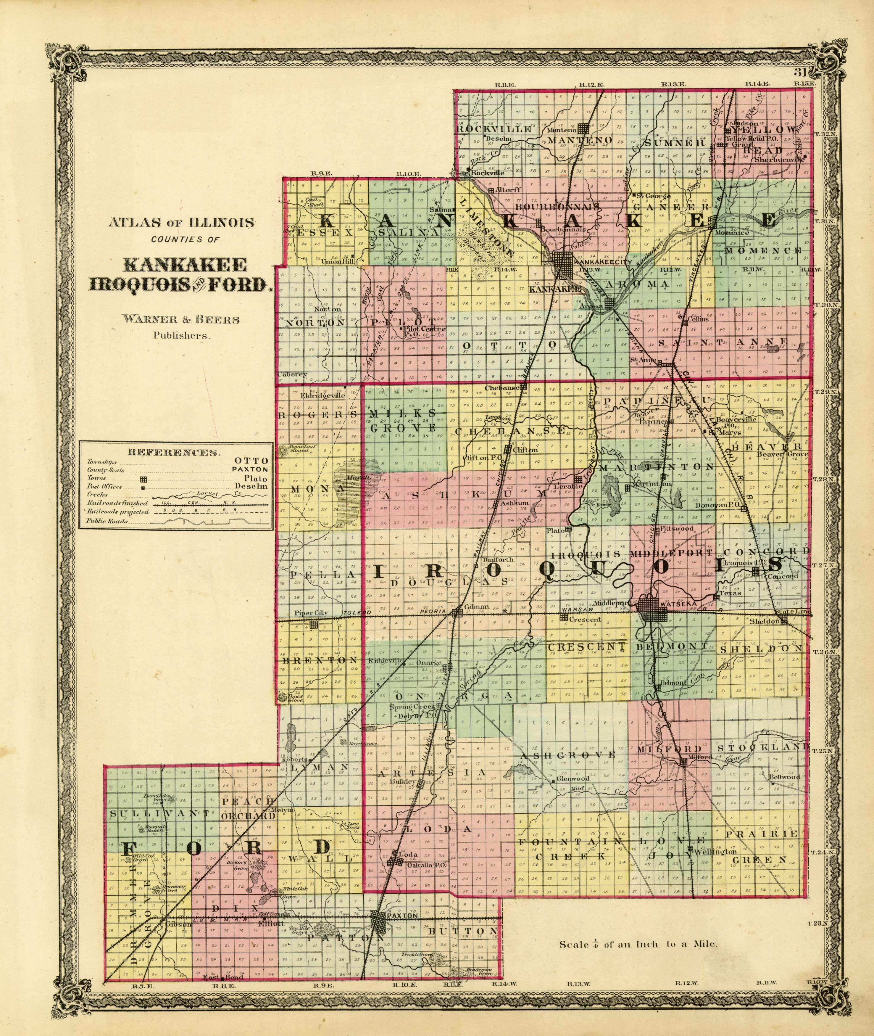
Illinois Counties of Kankakee, Iroquois, and Ford
Out of stock
This hand colored map from the Atlas of Macon Co. was produced in 1874 by Warner & Beers. Property owners, important buildings and parks are shown in great detail.
Size: 14 x 17 inches
Condition: Very Good-age toning, light foxing
Map Maker: Warner & Beers
Coloring: Original Hand Color
Year: 1874
Condition: Very Good-age toning, light foxing
Map Maker: Warner & Beers
Coloring: Original Hand Color
Year: 1874
Out of stock


