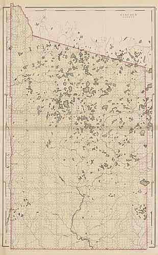
Lincoln County
Out of stock
We are proud to offer maps from the state of Wisconsin. This atlas was produced in 1876 by H.F. Walling. The county maps show railroads, main roads, rivers, lakes, and interestingly all of the post offices. The maps are beautifully hand colored.
Size: 15 x 22 inches
Condition: Very Good - some age toning
Map Maker: H.F. Walling
Coloring: Hand colored photo-lithographs
Year: 1876
Condition: Very Good - some age toning
Map Maker: H.F. Walling
Coloring: Hand colored photo-lithographs
Year: 1876
Out of stock


