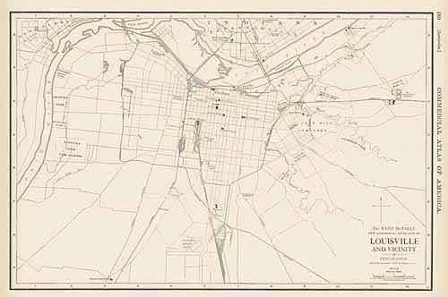
Map of Louisville
In stock
Rand McNally made this “Commercial Atlas of America” in 1920. Louisville is illustrated on this large map. The names of sections of the city, roads, cemeteries, parks, railroad lines, bridges, and rivers are identified.
Size: 19 x 13 inches
Condition: Very Good - some age toning
Map Maker: Rand McNally
Coloring: Black and White
Year: 1920
Condition: Very Good - some age toning
Map Maker: Rand McNally
Coloring: Black and White
Year: 1920
In stock


