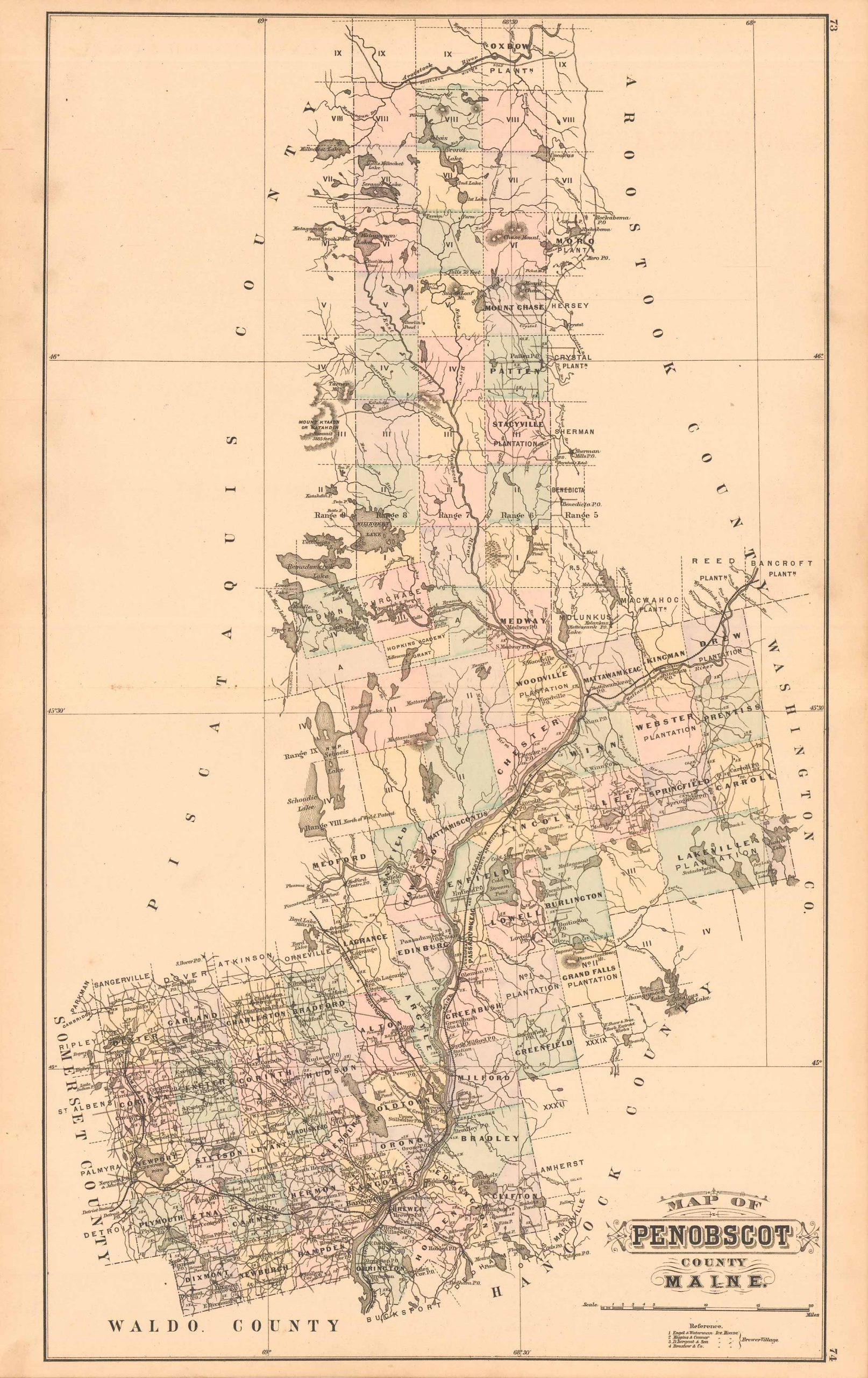
Colby’s 1884 Map of Penobscot County, Maine
In stock
This beautiful, original hand-colored map of Penobscot County came from the “Atlas of the State of Maine” produced by George N. Colby & Co. in 1884. Colbys atlas and the maps therein were produced in limited numbers for a short time, making city and county maps of Maine difficult to locate. This detailed map shows cities and towns, Post Offices, lakes, rivers and coastal features, proposed and completed railroads, wagon roads, topographical features, and mills.
Size: 24 x 15 inches
Condition: Very Good, light age toning, foxing, and two small archively repaired tears along/near centerfold
Map Maker: George N. Colby & Company
Coloring: Original Hand Coloring
Year: 1884
Condition: Very Good, light age toning, foxing, and two small archively repaired tears along/near centerfold
Map Maker: George N. Colby & Company
Coloring: Original Hand Coloring
Year: 1884
In stock


