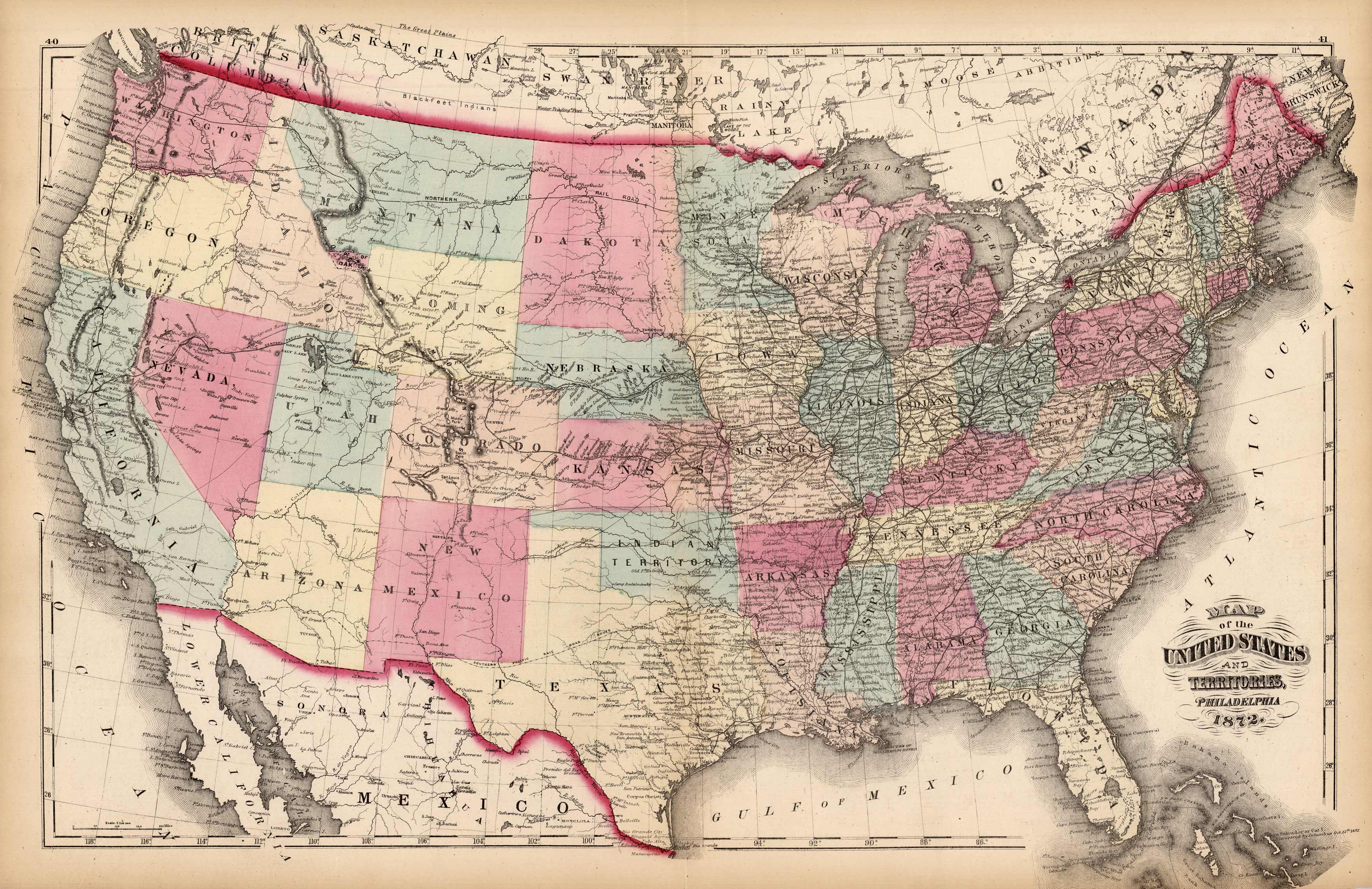
Map of the United Sates and Territories
Out of stock
This antique map is from the Topographical Atlas of the State of Pennsylvania created by Henry F. Walling and O.W. Gray. The maps brilliance is obvious through the hand coloring of pink, green, and yellow. There are several unique aspects to this 1872 map of the United States. Dakota has not been split into North and South yet and there is still Indian Territory. In present day South East Idaho is shown as part of Dakota. This strange configuration of the United States only lasted several months. Also uniquely illustrated in this map are the forts set up throughout the country.
Size: 25 x 16.5 inches
Condition: Very Good
Map Maker: Henry Walling & O.W. Gray
Coloring: Original Hand Coloring
Year: 1872
Condition: Very Good
Map Maker: Henry Walling & O.W. Gray
Coloring: Original Hand Coloring
Year: 1872
Out of stock


