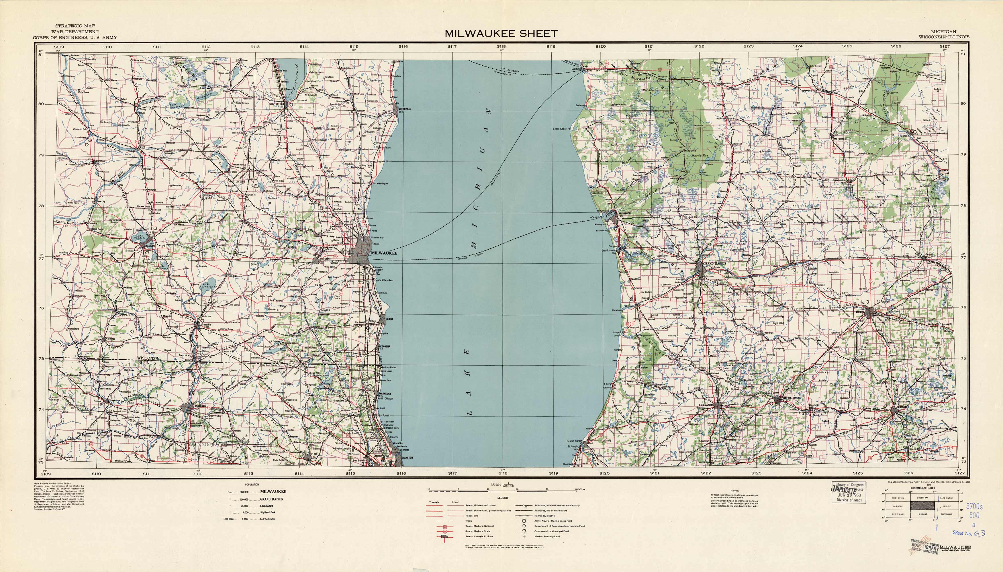
Milwaukee Sheet – Michigan, Wisconsin, Illinois
In stock
These Strategic Maps were produced by U.S. Army War Department/Corps of Engineers. They are often used as the basis for other commercial map products and they serve as one of the best tools available for navigating the countrys wild and urban terrain. The maps show contour lines (lines of equal elevation) which depict natural features of the land, as well as streams, roads, trails, railroads, and various military fields.
Size: 40 x 22.5 inches
Condition: Good, multiple stamps from various government agencies and libraries
Map Maker: War Department, U.S. Army Corps of Engineers
Coloring: Printed Color
Year: 1940
Condition: Good, multiple stamps from various government agencies and libraries
Map Maker: War Department, U.S. Army Corps of Engineers
Coloring: Printed Color
Year: 1940
In stock


