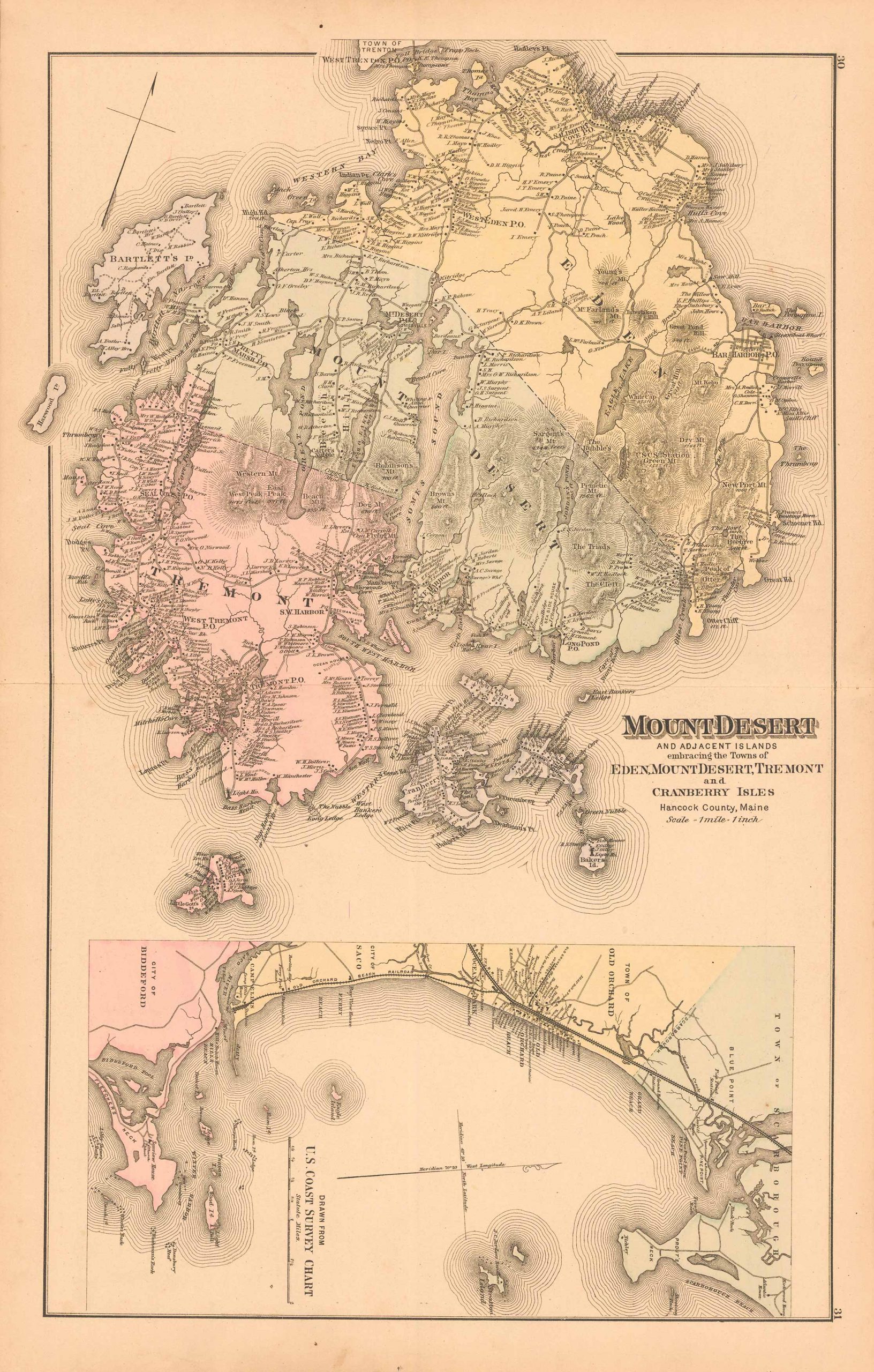
Colby’s 1884 Map of Mount Desert and Adjacent Islands Embracing the Towns of Eden, Mount Desert, Tremont and Cranberry Isles, Hancock County, Maine
In stock
This beautiful, original hand-colored map of Mount Desert and vicinity came from the “Atlas of the State of Maine” produced by George N. Colby & Co. in 1884. Colbys atlas and the maps therein were produced in limited numbers for a short time, making city and county maps of Maine difficult to locate. This detailed map shows the entire Mount Desert area including surrounding islands such as, but not limited to, Bartlett’s Island, Gott’s Island and Sutton’s Island.
Size: 24 x 15 inches
Condition: Good, light age toning and two archivally repaired tears
Map Maker: George N. Colby & Company
Coloring: Original Hand Coloring
Year: 1884
Condition: Good, light age toning and two archivally repaired tears
Map Maker: George N. Colby & Company
Coloring: Original Hand Coloring
Year: 1884
In stock


