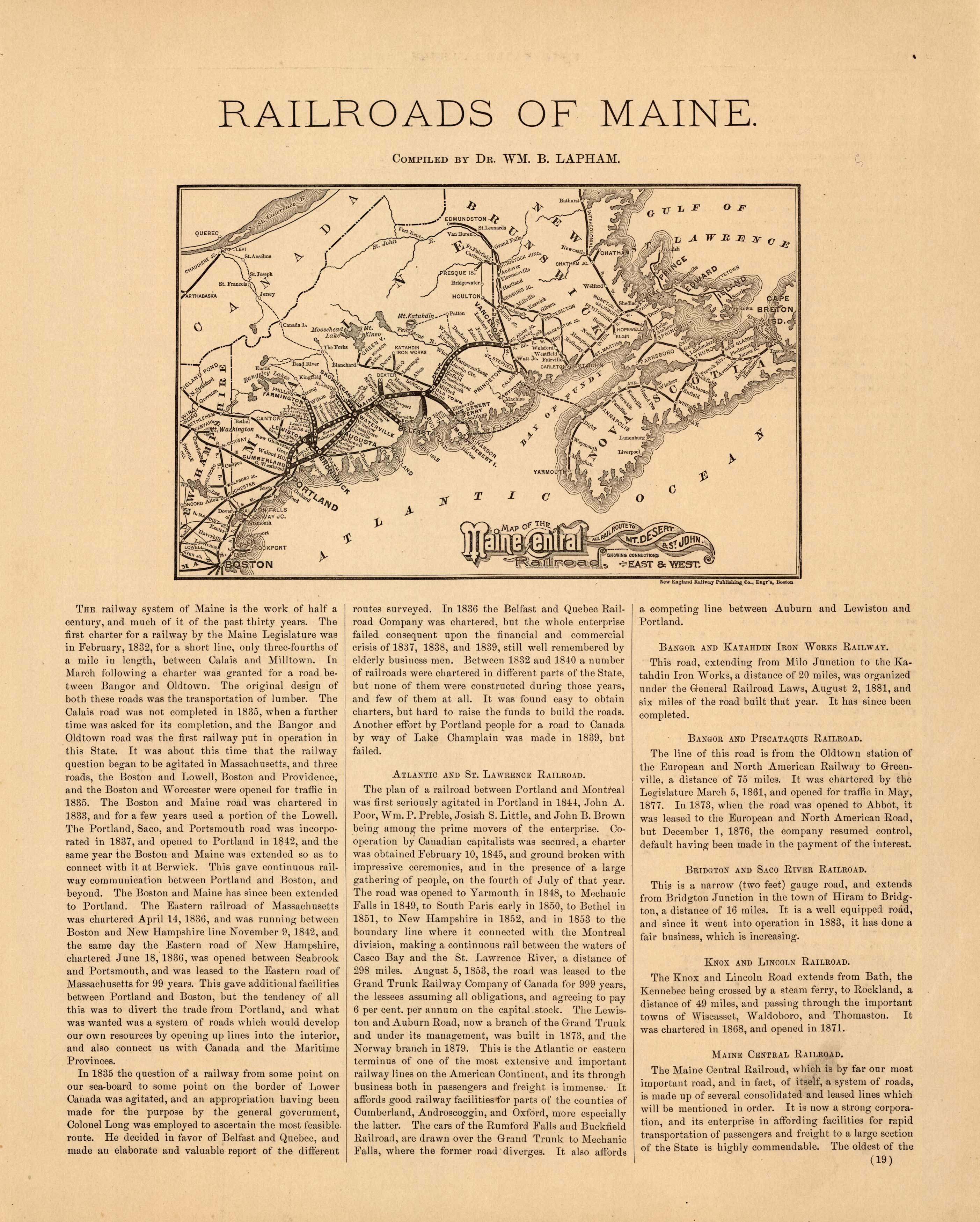
Colby’s 1884 Map of the Railroads of Maine
In stock
This unique map of the railroads of Maine came from the “Atlas of the State of Maine” produced by George N. Colby & Co. in 1884. Colbys atlas and the maps therein were produced in limited numbers for a short time, making city and county maps of Maine difficult to locate. This detailed map entitled “Map of the Maine Central Railroad, All Rail Route to Mt. Desert & St. John” shows states and cities, and railway lines from Boston up to New Brunswick and Nova Scotia. Below the map is a body of text that gives a very informative history of the development of the rail system in Maine.
Size: 15 x 13 inches
Condition: Very Good, light age toning
Map Maker: George N. Colby & Company
Coloring: Black and White
Year: 1884
Condition: Very Good, light age toning
Map Maker: George N. Colby & Company
Coloring: Black and White
Year: 1884
In stock


