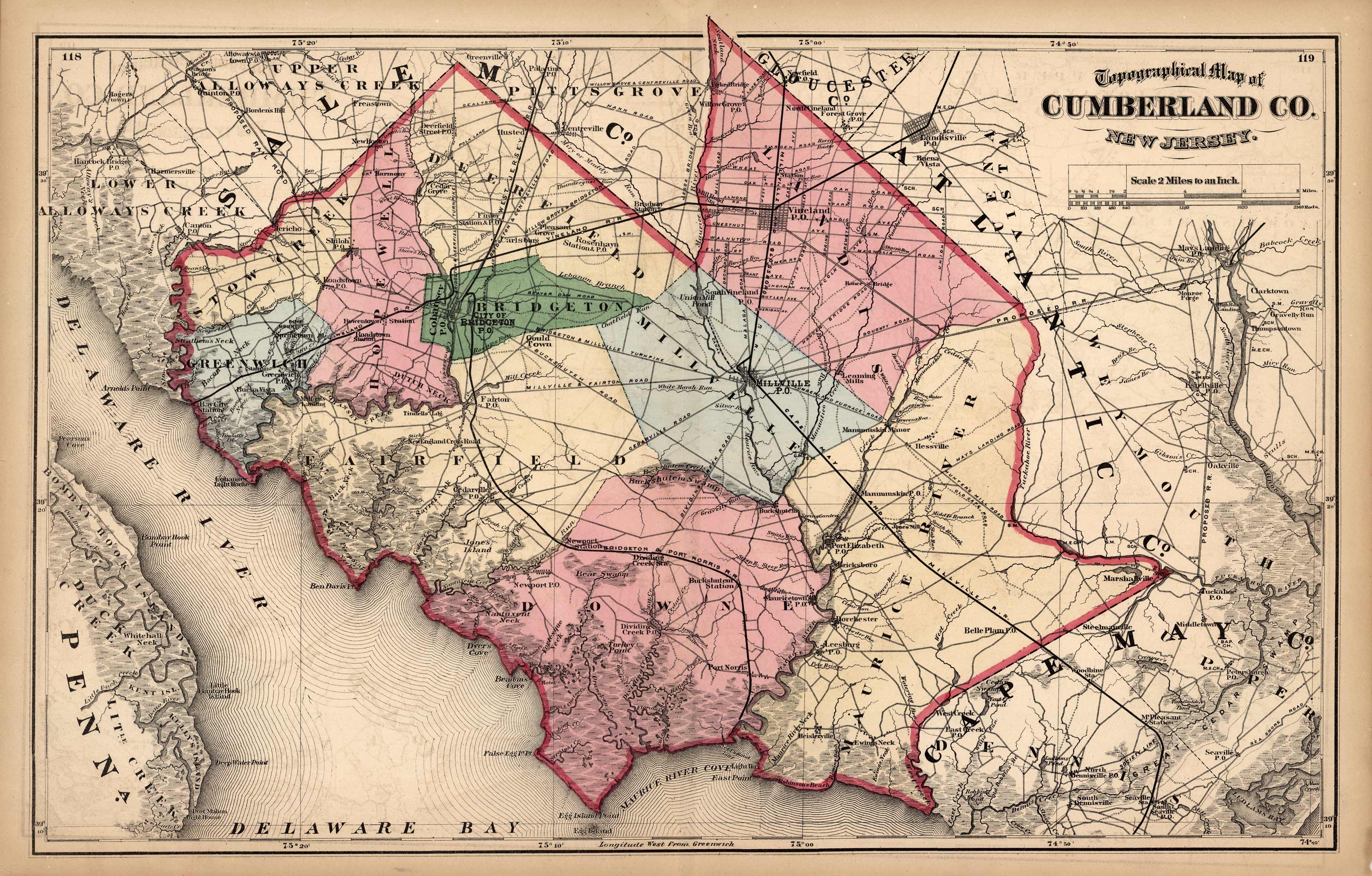
Topographical Map of Cumberland Co. New Jersey
In stock
This map of Cumberland County is from F.W. Beers State Atlas of New Jersey. It is the first time in our 30 year history that we have been able to locate and offer these maps. The maps are all brightly hand-colored and show great detail of important buildings, railroads, towns, villages, and post office locations. This map makes a unique gift or a great addition to your collection.
Size: 22.75 x 14.5 inches
Condition: Excellent
Map Maker: F.W. Beers
Coloring: Original Hand-Colored Lithograph
Year: 1872
Condition: Excellent
Map Maker: F.W. Beers
Coloring: Original Hand-Colored Lithograph
Year: 1872
In stock


