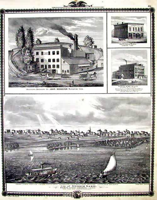
Views of Western Brewery, VanSickels Block, North Star Mills, and Birdseye View of Storm Lake in Buena Vista County
In stock
This map is from A.T. Andreas” Illustrated Historical Atlas of the State of Iowa, printed in 1875. These are classic views of rural America at its 19th century zenith. Abounding with horse-drawn carriages, picket fences, men in top hats and ladies in bustled dresses, these images grant us a view of Iowa that is otherwise lost. Here we see houses at their majestic best, bucolic country farms scenes with fattened cows, and small factories churning out the black smoke that symbolized the progress of industrialization. Many of these pictures show us noted businesses, homes of the local professionals, or the regions college.
Size: 13 x 17 inches
Condition: Good
Map Maker: A. T. Andreas
Coloring: Lithographic Coloring
Year: 1875
Condition: Good
Map Maker: A. T. Andreas
Coloring: Lithographic Coloring
Year: 1875
In stock


