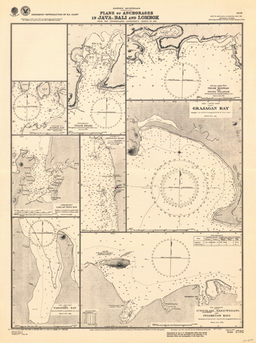
Eastern Archipelago – Plans of Anchorages in Java, Bali and Lombok – Kombal Bay – Telok Awang – Telok Blongas and Silung Belanak – Grajagan Bay – Ampenan Road – Labuan Tring Bay – Pangpang Bay – St Nicholas, Banjuwedang and Pegametan Bays
In stock
This coastal survey was printed by the U.S. Navy Hydrographic Office in Washington D.C. Details include the names of cities and waterways along the coast. Depth soundings are shown in fathoms. Other details that maybe included are lighthouses and buoy positions.
Size: 19.5 x 27.5 inches
Condition: Excellent
Map Maker: Hydrographic Office, U.S. Navy
Coloring: B&W
Year: 1944
Condition: Excellent
Map Maker: Hydrographic Office, U.S. Navy
Coloring: B&W
Year: 1944
In stock


