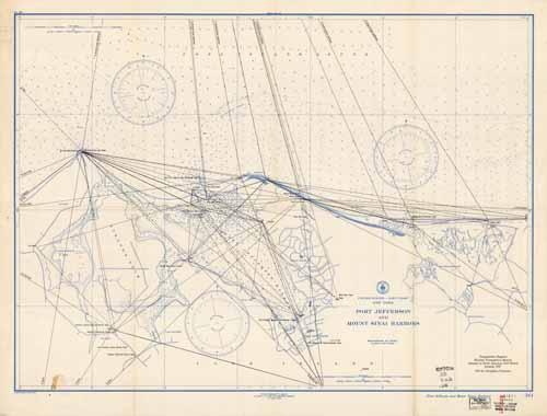
Port Jefferson and Mount Sinai Harbors- New York
In stock
This unique coastal survey, produced in 1944 by the U.S. Coast and Geodetic Survey, shows coastal points between Port Jefferson and Mount Sinai Harbor, Long Island. Details include the names of cities, railroads, points of interest, and waterways along the coast. Triangulation lines are used throughout the map to connect base points. Other details that maybe included are lighthouses and buoy positions.
Size: 29.75 x 22 inches
Condition: Good, light age toning, folds, stain on bottom lft corner, repaired tears along bottom
Map Maker: U.S. Coast and Geodetic Survey
Coloring: Printed Color
Year: 1944
Condition: Good, light age toning, folds, stain on bottom lft corner, repaired tears along bottom
Map Maker: U.S. Coast and Geodetic Survey
Coloring: Printed Color
Year: 1944
In stock


