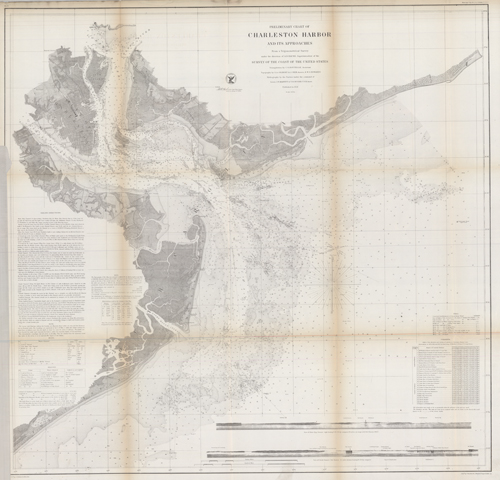
Preliminary Chart of Charleston Harbor and Its Approaches
Out of stock
This black and white, antique coastal survey was made for the United States Coast Survey. This map details beacons, buoys, bottom conditions, islands, creeks, light houses, channels, the view off of North Channel, current information, tides, and shoals in the area. It provides some topographic information, showing railroad lines, the cemetery, street names, mills, and a race course in Charleston. Like other United States Coastal Survey maps, it has sailing directions. A very informative and detailed map from 1858. Sold folded as issued.
Size: 33 x 30.5 inches
Condition: Good - archival repairs along folds
Map Maker: U.S. Coast Survey Office
Coloring: Black and White
Year: 1858
Condition: Good - archival repairs along folds
Map Maker: U.S. Coast Survey Office
Coloring: Black and White
Year: 1858
Out of stock


