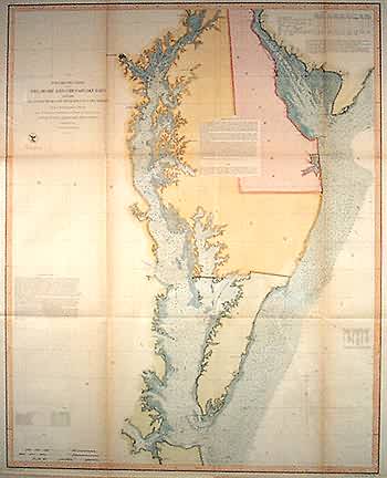
Preliminary Chart of Delaware and Chesapeak Bays and the Sea Coast from Cape Henlopen to Cape Charles
Out of stock
This exceptional coastal survey illustrating Chesapeak and Delaware Bays was made in 1855 by the Coast Survey Office. The states of Delaware, Maryland, and Virginia (bordering the bays) have beautiful hand coloring in pastel pink, yellow, and green; the bays have light blue color. Notes on the map provide sailing directions and a tide chart. Depth readings, some comments on bottom character, a few town names along the coasts, and the locations of wrecks are provided on the map.
Size: 24.75 x 31 inches
Condition: Very Good-age toning
Map Maker: Coast Survey Office
Coloring: Hand Color
Year: 1855
Condition: Very Good-age toning
Map Maker: Coast Survey Office
Coloring: Hand Color
Year: 1855
Out of stock


