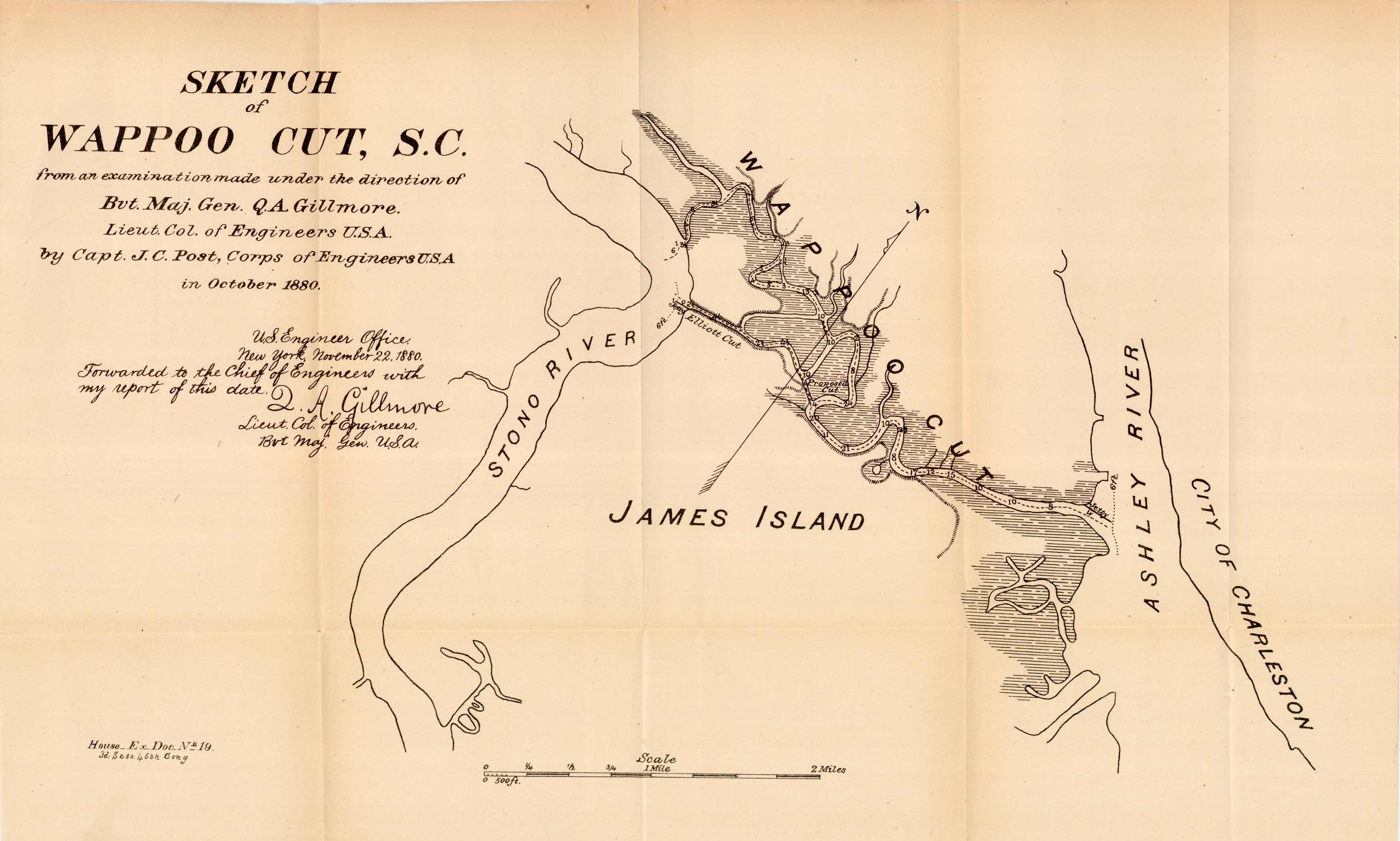
Sketch of Wappoo Cut, S.C.
Out of stock
This map, from the examination made under the direction of B.V.T. Maj. Gen. Q.A. Gillmore. Lieut. Col. of Engineers U.S.A., details Wappoo Cut (James Island) between the Stono River and Ashley River. In 1880 the map shows Elliott Cut to be approx. 1/2 mile, where Elliot Creek now runs the length between Ashley and Stono rivers having absorbed most of Wappoo.
Size: 18 x 10 inches
Condition: Good - age toning, staining
Map Maker: Q.A. Gillmore, Lieut. Col. of Engineers B.V.T. Maj. Gen. U.S.A.
Coloring: Black and white
Year: 1880
Condition: Good - age toning, staining
Map Maker: Q.A. Gillmore, Lieut. Col. of Engineers B.V.T. Maj. Gen. U.S.A.
Coloring: Black and white
Year: 1880
Out of stock


