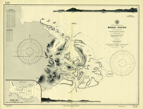
Solomon Islands – Guadalcanal Island East Coast – Marau Sound – Danae Bay
In stock
This coastal survey was printed by the U.S. Navy Hydrographic Office in Washington D.C. Details include the names of cities and waterways along the coast. Depth soundings are shown in fathoms. Other details that maybe included are lighthouses and buoy positions. These World War 2 maps have become very difficult to find.
Size: 26.5 x 21 inches
Condition: Very Good
Map Maker: Hydrographic Office, U.S. Navy
Coloring: Printed B&W
Year: 1941
Condition: Very Good
Map Maker: Hydrographic Office, U.S. Navy
Coloring: Printed B&W
Year: 1941
In stock


