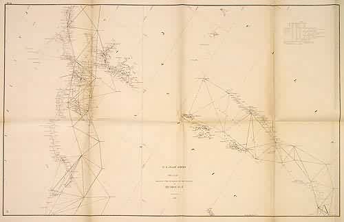
U.S. Coast Survey Sketch Showing the Progressof the survey in Section No. X
In stock
This coastal survey of the California coastline was made in 1868 by the Coast Survey Office. One section of the coastline shown includes San Francisco Bay and goes from Tomales Bay to Monterey Bay, and the other shows the coastline from San Luis Obispo to Bahia Ona, including Santa Barbara. Details include depth readings and the names of cities and islands along the river. Notes on the map provide sailing instructions, and information on tides and currents.
Size: 16 x 25.5 inches
Condition: Good - age toning, light foxing
Map Maker: Coast Survey Office
Coloring: Black and White
Year: 1868
Condition: Good - age toning, light foxing
Map Maker: Coast Survey Office
Coloring: Black and White
Year: 1868
In stock


