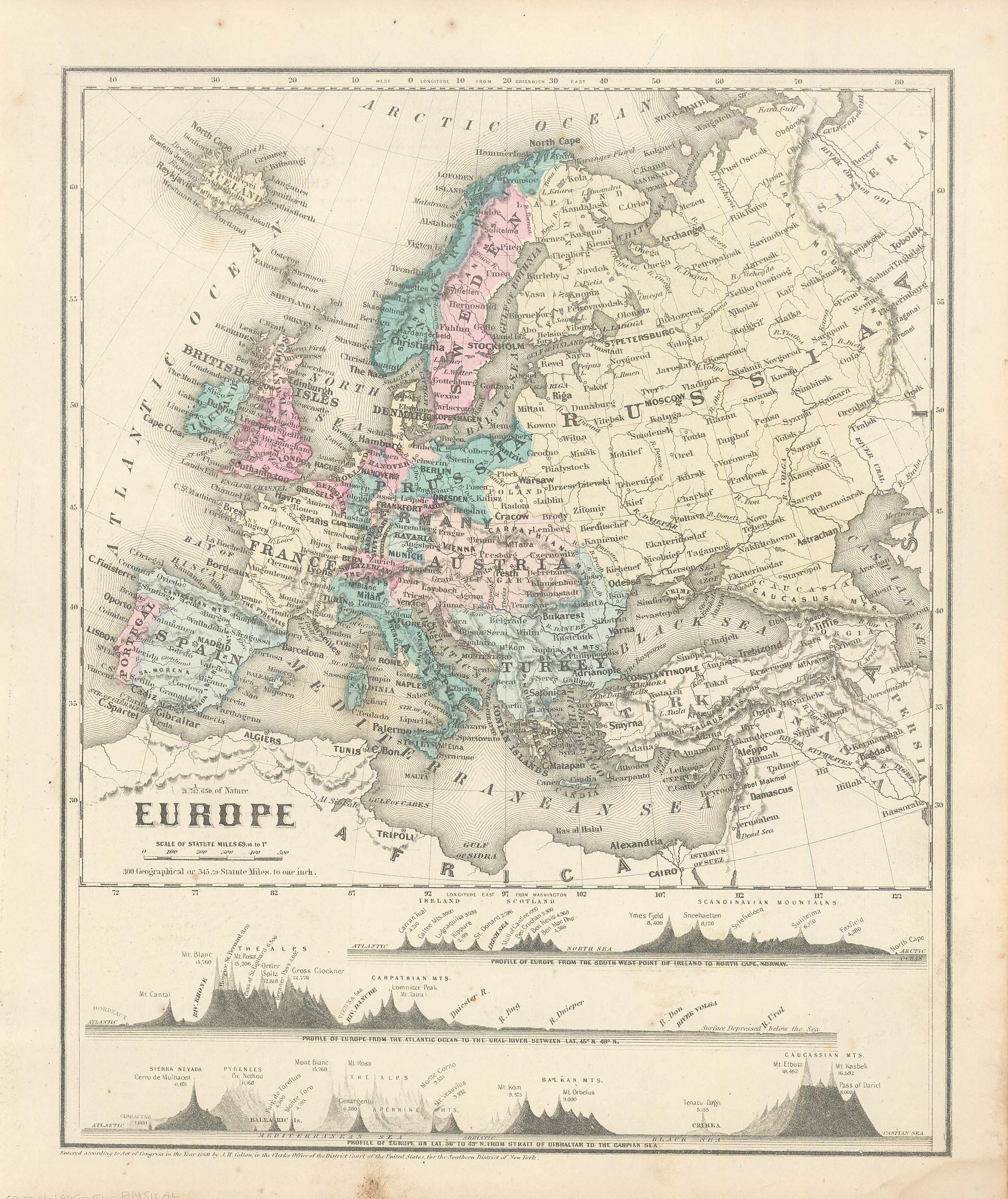
Colton’s 1860 Physical Map of Europe
Out of stock
This physical map was issued as part of J.H. Colton’s 1860 School Atlas. This map shows the height of mountains in a unique graph form. We consider Colton to be the premier mapmaker in American History. His maps are known for their precision and attention to detail.
Size: 9.75 x 12 inches
Condition: Very Good
Map Maker: J.H. Colton
Coloring: Hand-Colored Steel Engraving
Year: 1860
Condition: Very Good
Map Maker: J.H. Colton
Coloring: Hand-Colored Steel Engraving
Year: 1860
Out of stock


