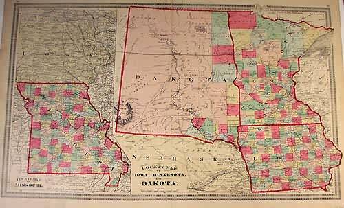
County Map of Missouri / County Map of Iowa, Minnesota and Dakota
Out of stock
Neat map of the central states by H.H Lloyd, dated 1874. Shows many details including railroads, cities and towns, counties, Indian Tribes, forts, wagon trails and rivers and lakes.
Size: 22 x 13.5 inches
Condition: Very Good
Map Maker: H.H Lloyd
Coloring: Original Hand Coloring
Year: 1874
Condition: Very Good
Map Maker: H.H Lloyd
Coloring: Original Hand Coloring
Year: 1874
Out of stock


