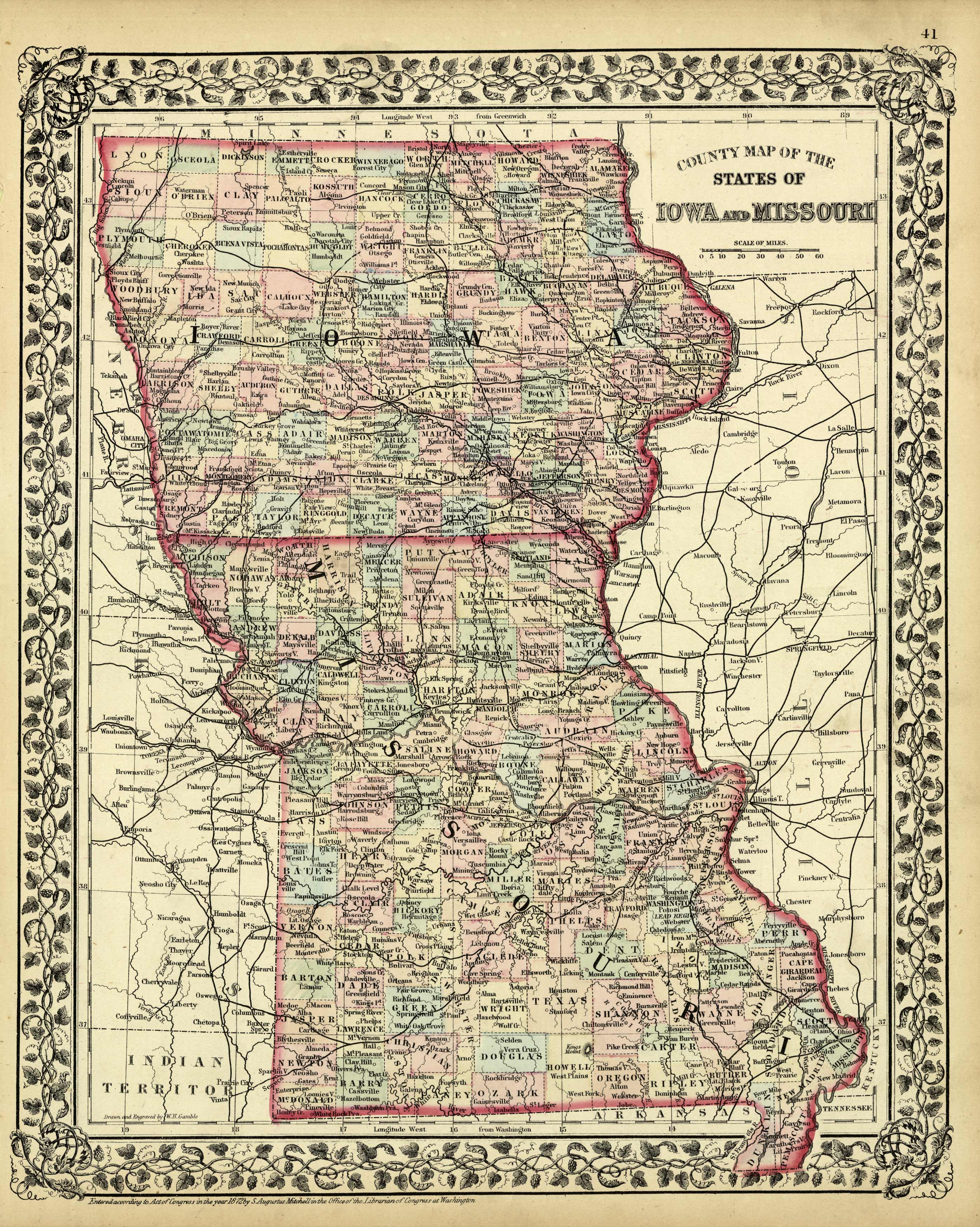
County Map of the States of Iowa and Missouri
In stock
This hand colored map was made by S. Augustus Mitchell, Jr. in 1872. Counties, major cities and towns, transportation routes and rivers are illustrated on this map of Iowa and Missouri. Counties are differentiated by pastel coloring.
Size: 10.75 x 13.5 inches
Condition: Very Good-some age toning, minor small tears along edges, foxing
Map Maker: S. Augustus Mitchell
Coloring: Original Hand Coloring
Year: 1872
Condition: Very Good-some age toning, minor small tears along edges, foxing
Map Maker: S. Augustus Mitchell
Coloring: Original Hand Coloring
Year: 1872
In stock


