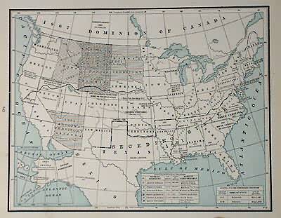
Developement of the Divisions of States
In stock
This map was made by George F. Cram in 1883 for “Crams Unrivaled Family Atlas”. This map illustrates the developement of state boundaries of the United States. These maps are machine colored in black and white with blue coloring for the ocean. The names of states and territories, and important dates of developement are shown.
Size: 12.5 x 9.75 inches
Condition: Very Good- stain on border, age toning
Map Maker: George F. Cram
Coloring: Printed Color
Year: 1883
Condition: Very Good- stain on border, age toning
Map Maker: George F. Cram
Coloring: Printed Color
Year: 1883
In stock


