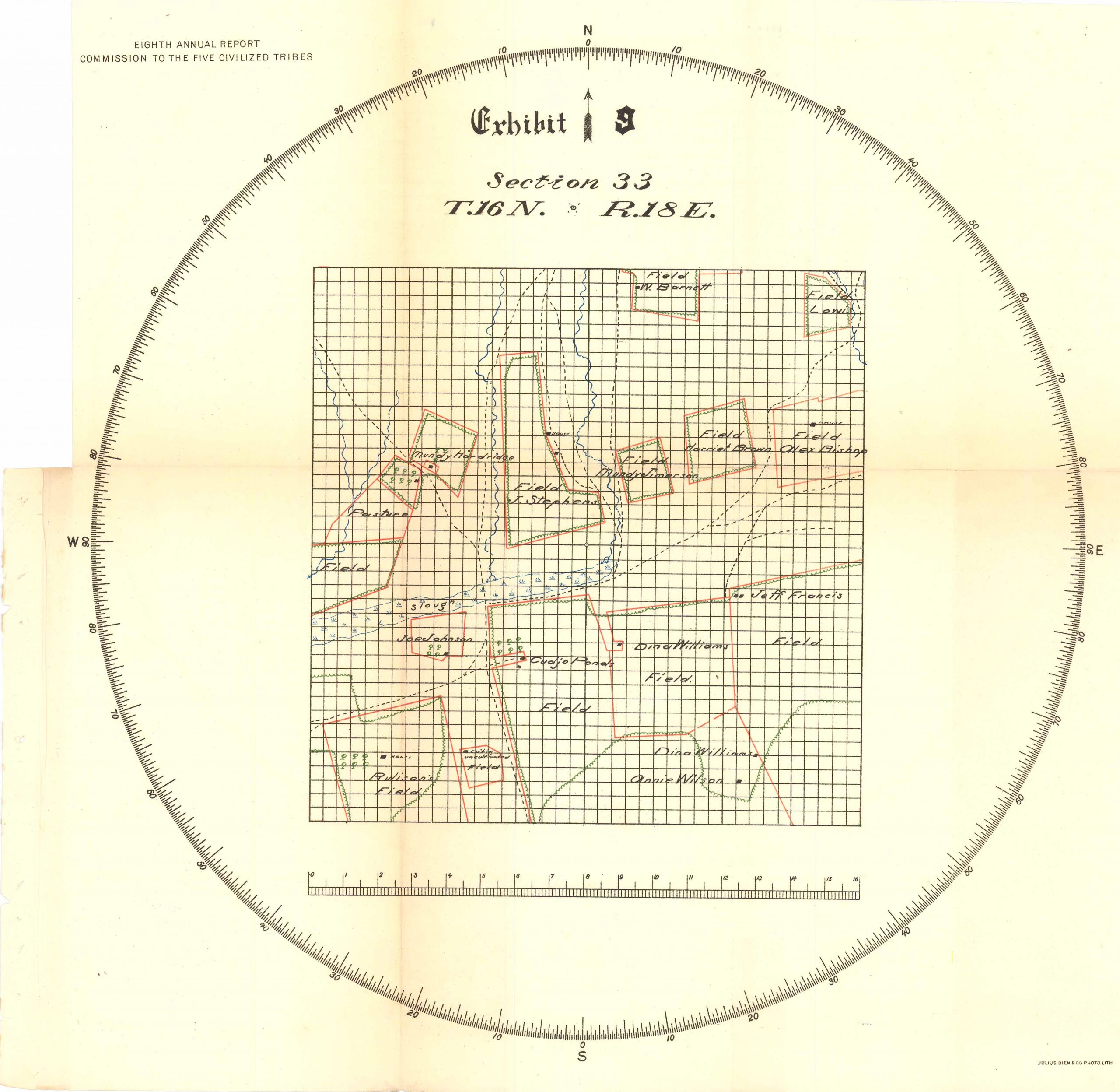
Eighth Annual Report Commission to the Five Civilized Tribes, Exhibit 9 Section 33, T16N, R.18E,1900
In stock
This survey map was made for the Tenth Annual Report Commission to the Five Civilized Tribes in 1900. Township number 15 “East of the Indian Meridian, Indian Territory” is shown on this map providing the names of each land holder and field sections. This document is an important piece of United States history subtly illustrating the gradual consummation of Native American land.
Size: 14 x 14 inches
Condition: Very good
Map Maker: US Geological Survey
Coloring: Printed Color
Year: 1900
Condition: Very good
Map Maker: US Geological Survey
Coloring: Printed Color
Year: 1900
In stock


