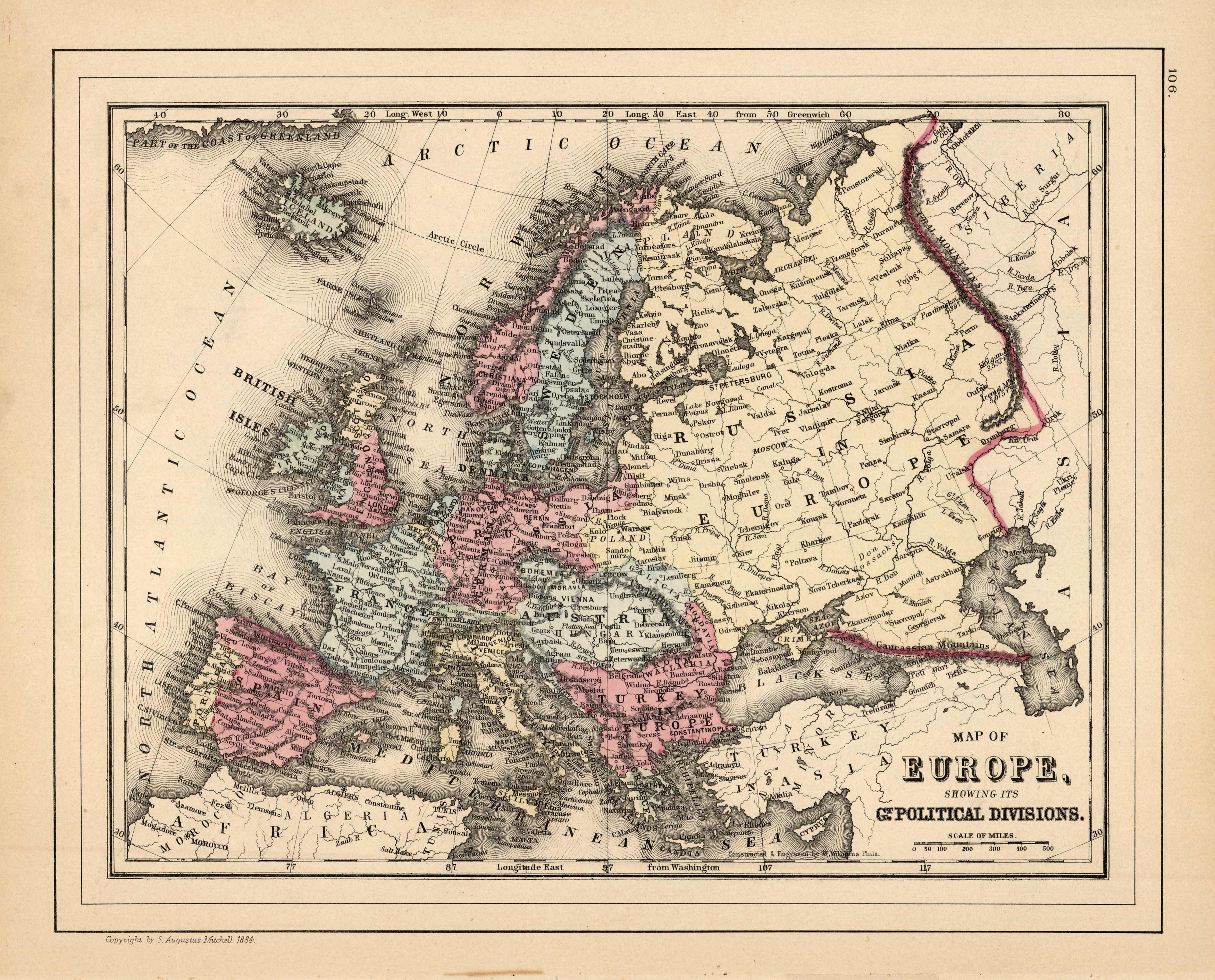
map of Europe, Showing its Gt. Political Divisions.
In stock
This map was made by S. Augustus Mitchell for “Mitchells New General Atlas,” published by WM. M. Bradley & Co, 1885. This well-maintained example features Mitchell’s characteristic pastel coloring and abundant geographical detail. The map shows the nations of Europe in color and identifies cities, rivers, bodies of water, etc.
Size: 14 x 11 inches
Condition: Very Good
Map Maker: S. Augustus Mitchell
Coloring: Original Hand Coloring
Year: 1885
Condition: Very Good
Map Maker: S. Augustus Mitchell
Coloring: Original Hand Coloring
Year: 1885
In stock


