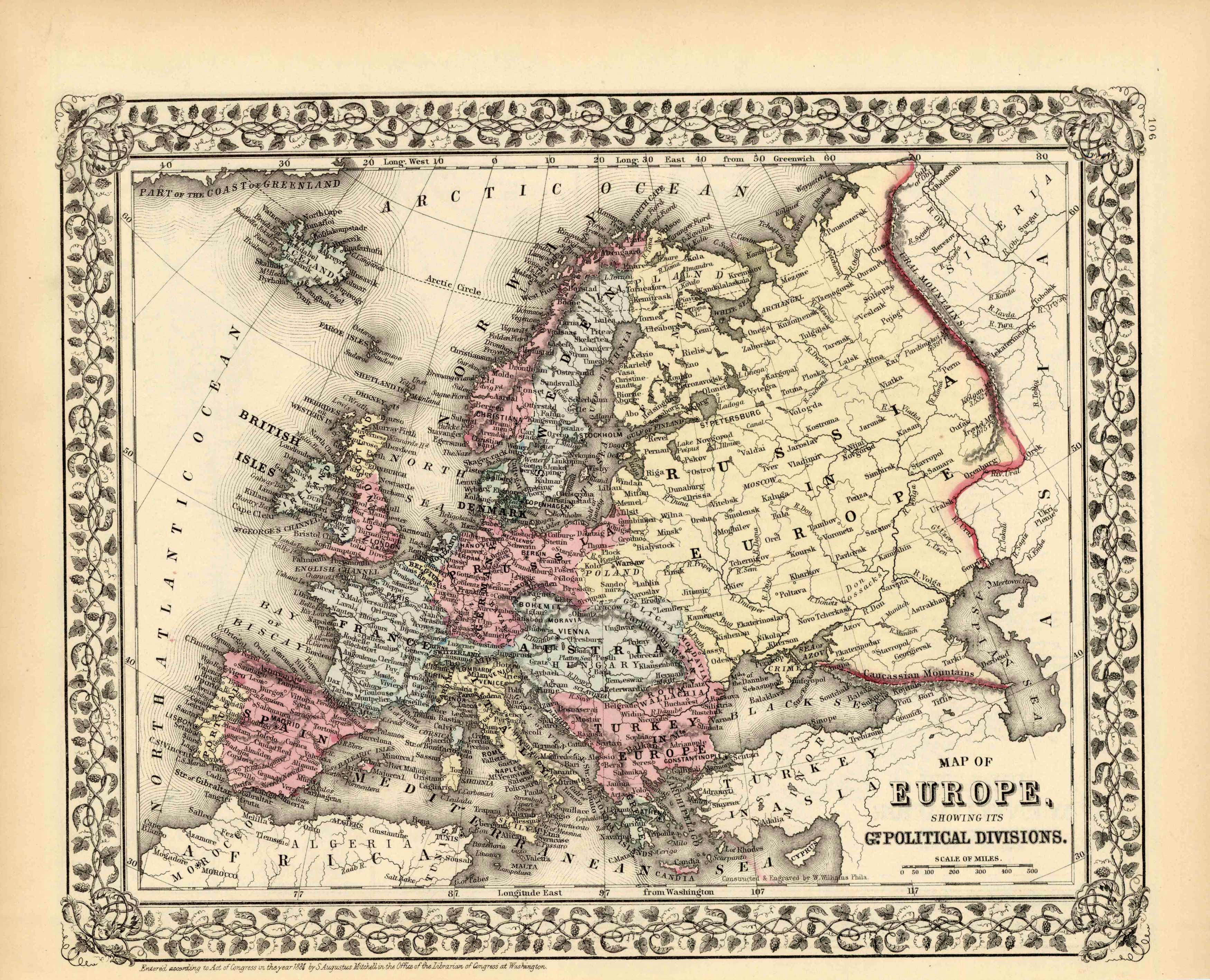
Map of Europe Showing its Political Divisions
In stock
This map came from Mitchells New General Atlas, 1881.This map shows major railroads, water bodies, and towns.Decorative ivy border, and nice colorful detail. Would looknice framed!’
Size: 13.5 x 11 inches
Condition: Excellent
Map Maker: S. Augustus Mitchell
Coloring: Original Hand Coloring
Year: 1881
Condition: Excellent
Map Maker: S. Augustus Mitchell
Coloring: Original Hand Coloring
Year: 1881
In stock


