Arkansas
In stock
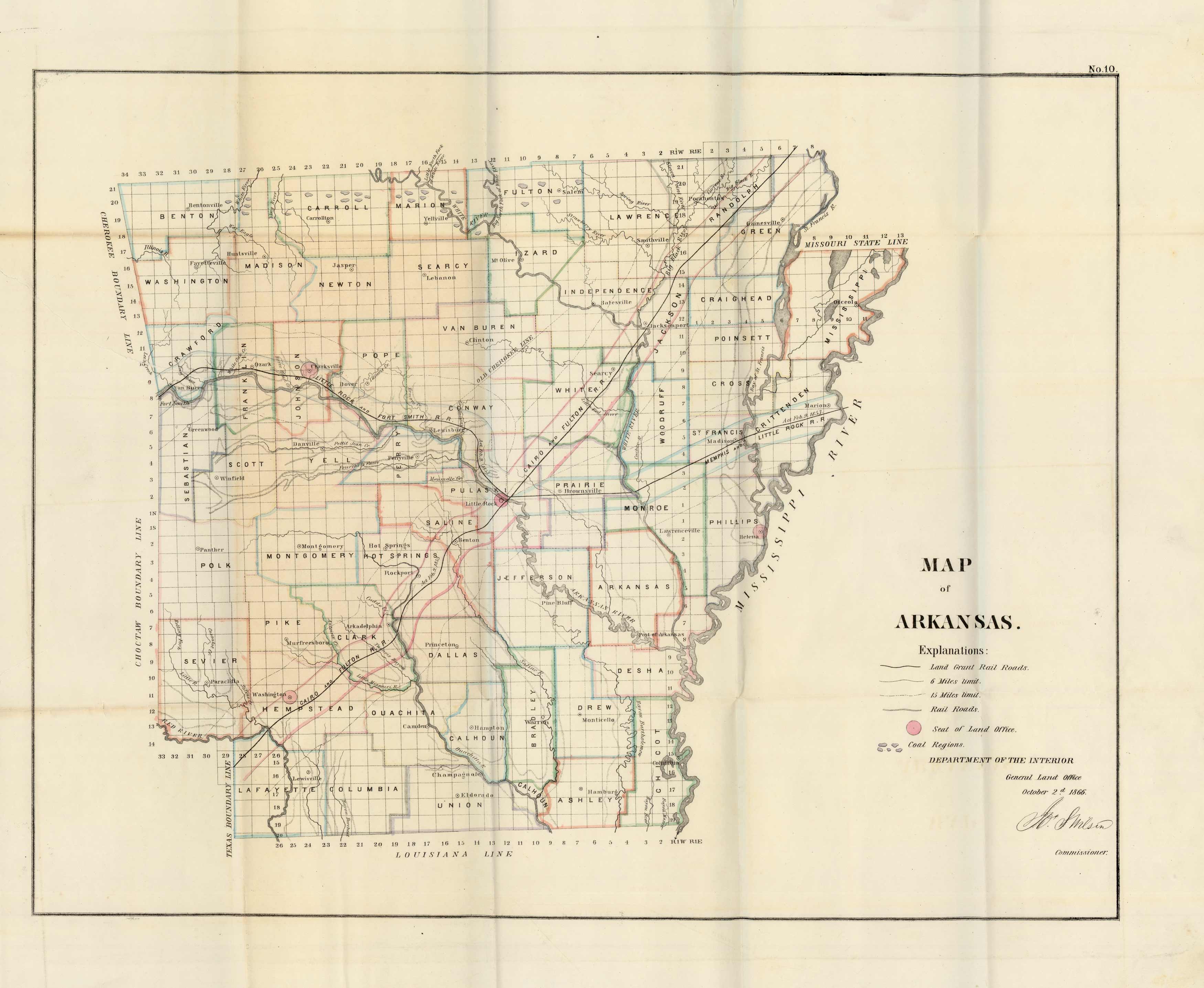
1866 Arkansas GLO map shows survey grid and boundaries of swamp and flooded lands, as well as railroad land grants in pink, yellow and blue outline color. Western border of the state is Choctaw and Cherokee boundary lines. Numerous towns are labeled, as well as the Old Cherokee Line and Cherokee reservation on the Arkansas river.
Size: 16 x 14 inches
Condition: Good - minor tearing throughout
Map Maker: General Land Office
Coloring: Black & White
Year: 1866
Condition: Good - minor tearing throughout
Map Maker: General Land Office
Coloring: Black & White
Year: 1866
In stock


