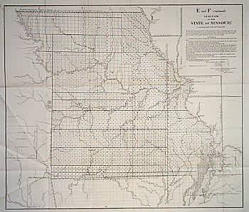
Diagram of the State of Missouri
In stock
This version of the GLO map series shows details around the boundaries of the State of Missouri as well as within the state itself. For example, it shows the Osage Reservation in Kansas, and towns and rivers in Arkansas and Illinois. Major rivers and towns marked in Missouri, such as St. Louis, Jefferson City, Milan, Fayette, Clinton and Springfield. Forts Leavenworth, Madison, and Massac are marked as well.
Size: 22 x 19 inches
Condition: Very Good
Map Maker: General Land Office
Coloring: Black & White
Year: 1852
Condition: Very Good
Map Maker: General Land Office
Coloring: Black & White
Year: 1852
In stock


