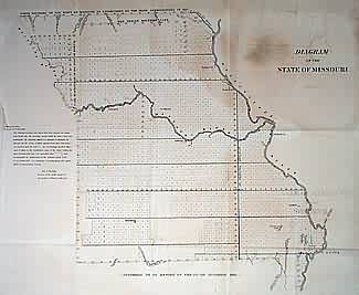
Diagram of the State of Missouri
In stock
Shows old western boundary of the state, and the old Indian boundary line to north, as well as northern border as established in 1837. Towns shown include Jackson, St. Louis, Jefferson, Fayette, Lexington, Springfield and Palmyra.
Size: 22 x 19 inches
Condition: Very Good
Map Maker: General Land Office
Coloring: Black & White
Year: 1841
Condition: Very Good
Map Maker: General Land Office
Coloring: Black & White
Year: 1841
In stock


