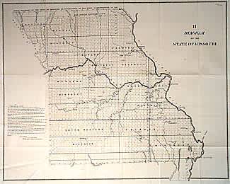
Diagram of the State of Missouri
In stock
More detailed than previous GLO maps of Missouri. Good detail of rivers and towns, as well as land districts. Also labels lead, iron, copper and coal sites, and saline waters, unusual information for a GLO map. Old Indian Boundary line marked in north, and old west boundary of the state as well.
Size: 22 x 17.5 inches
Condition: Very Good
Map Maker: General Land Office
Coloring: Black & White
Year: 1845
Condition: Very Good
Map Maker: General Land Office
Coloring: Black & White
Year: 1845
In stock


