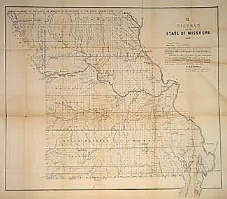
Diagram of the State of Missouri (Rice Paper)
In stock
This map portrays a Missouri that is nearly completely surveyed, with the only exceptions lying in the extreme southeast and northern parts of the state. Text recommends these lands to be surveyed in the fiscal year 1849-1850. Towns, settlements appearing state-wide at this date. The Harmony Mission, old Indian and old western boundary lines, land districts, and lead, iron, coal, copper and salt mines/deposits are marked. This map is printed on a thinner rice paper.
Size: 19.5 x 17.5 inches
Condition: Good
Map Maker: General Land Office
Coloring: Black & White
Year: 1848
Condition: Good
Map Maker: General Land Office
Coloring: Black & White
Year: 1848
In stock


