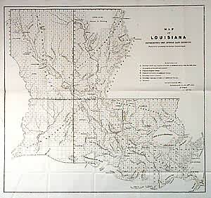
Map of Louisiana
In stock
Highly detailed GLO map of Louisiana shows many towns and rivers. Survey grid covers all of state, but uncertain areas include parts of the Sabine and Pearl Rivers, Lake Pontchartrain, L. Chestimacha, and a section of coastline near Bayou la Fourche. Shows Claim of the Baron de Bastrop in north.
Size: 16 x 15 inches
Condition: Very Good
Map Maker: General Land Office
Coloring: Black & White
Year: 1849
Condition: Very Good
Map Maker: General Land Office
Coloring: Black & White
Year: 1849
In stock


