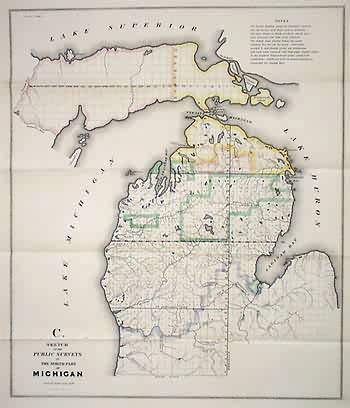
Sketch of the Public Surveys in the North part of Michigan
In stock
Excellent detail of rivers and lakes on this GLO map of Michigan. Surveys now concentrating on the north and the Upper Peninsula so the best detail is in these areas. Part of the Upper Peninsula still blank. Territorial boundary at top.
Size: 15 x 18 inches
Condition: Very Good
Map Maker: General Land Office
Coloring: Black & White
Year: 1841
Condition: Very Good
Map Maker: General Land Office
Coloring: Black & White
Year: 1841
In stock


