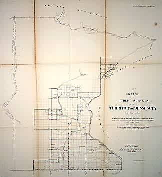
Sketch of the Public Surveys in the Territory of Minnesota
In stock
Territory of Minnesota. Surveys in southeastern region. Labels western boundary of Minnesota as given by Act of Congress Feb. 26, 1857. Towns include Winona, Mankato, Sauk Rapids, Little Falls, Burlington, and Fort Snelling. Shows national and state boundaries.
Size: 21 x 22 inches
Condition: Good, minor repaired tears on folds
Map Maker: General Land Office
Coloring: Black & White
Year: 1856
Condition: Good, minor repaired tears on folds
Map Maker: General Land Office
Coloring: Black & White
Year: 1856
In stock


