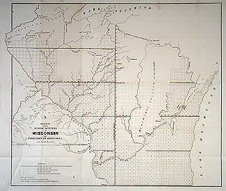
Sketch of the Public Surveys in Wisconsin and Territory of Minnesota
In stock
Wisconsin and Terr. of Minnesota. Michigan – Wisconsin and Iowa – Minnesota boundaries labelled, also Treaty Line ofl837. “Chipeway Land” marked in north, “Indian Country” and Menomonie Cession of 1848. Also Oneida reserve. Towns marked include Fort Gaines, Fort Snelling, Prairie du Chien, and Dubuque.
Size: 20 x 17.5 inches
Condition: Very Good
Map Maker: General Land Office
Coloring: Black & White
Year: 1849
Condition: Very Good
Map Maker: General Land Office
Coloring: Black & White
Year: 1849
In stock


