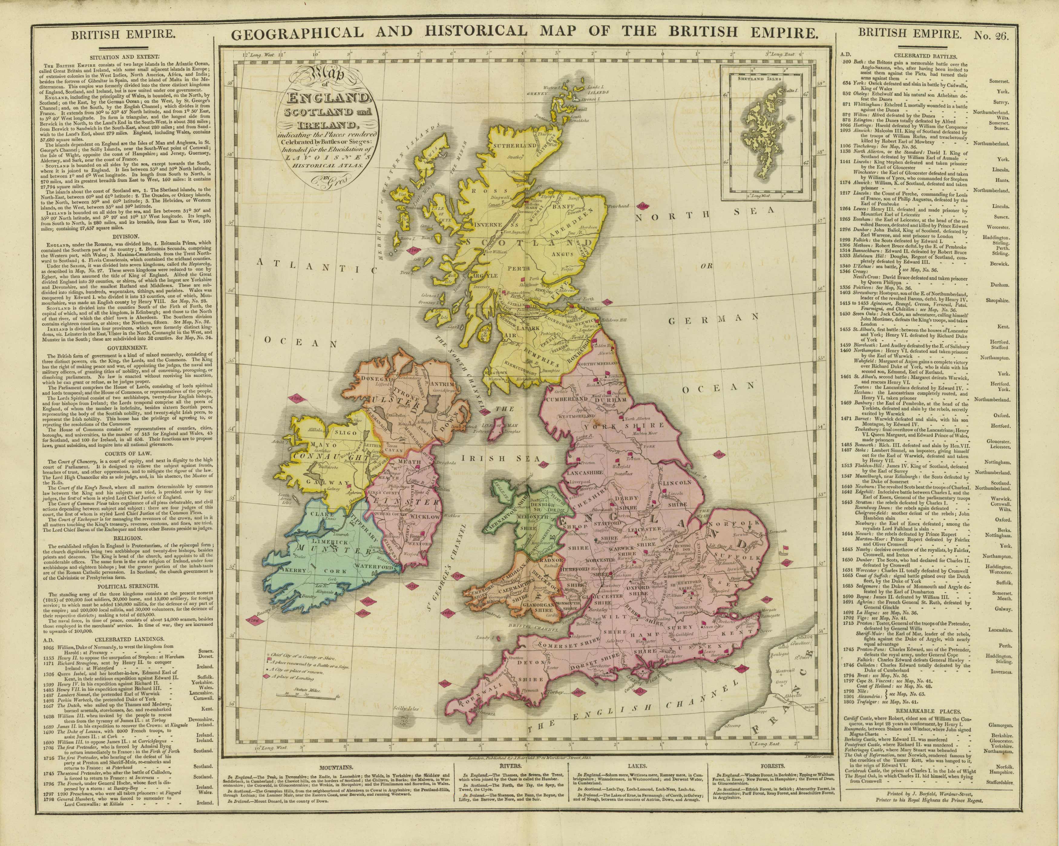
Geographical, Statistical, and Historical Map of the British Empire
Out of stock
Brightly-colored copper-plate map of the British Empire, surrounded by textual information regarding geography, history, political divisions, and battles. This is the oldest map by Lavoisne we have ever seen.
Size: 20 x 15.5 inches
Condition: Very good- age toning and slight offsetting
Map Maker: M. Lavoisne
Coloring: Original hand coloring
Year: 1814
Condition: Very good- age toning and slight offsetting
Map Maker: M. Lavoisne
Coloring: Original hand coloring
Year: 1814
Out of stock


