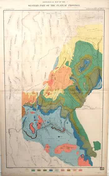
Geological Map of the Western Part of the Plateau Province
Out of stock
This map of the Grand Canyon District was made in 1882 for the U.S. Geological Survey. The names of regions, rivers, and their geological features are identified.
Size: 18 x 29 inches
Condition: Very Good-age toning
Map Maker: Clarence Dutton
Coloring: Printed Color
Year: 1882
Condition: Very Good-age toning
Map Maker: Clarence Dutton
Coloring: Printed Color
Year: 1882
Out of stock


