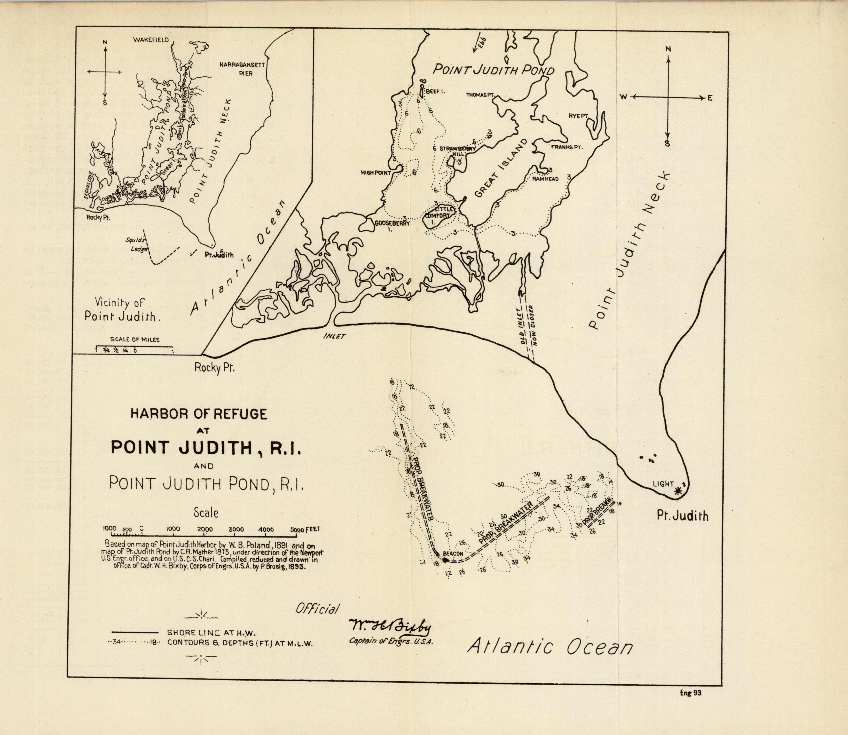
Harbor Refuge at Point Judith, Rhode Island and Point Judith Pond
Out of stock
A special chart of Harbor of Refuge at Point Judith, Narragansett, RI and Point Judith Pond, issued by the Corps of Engineers in 1893. This chart shows two different variations of the area right at the tip of Point Judith to the start of Point Judith Pond. The smaller inset on the top left shows the vicinity of Point Judith up to Wakefield. A sketch of the proposed breakwater at Squids Ledge indicates contours and water depth around the area. Great, Little Comfort, Gooseberry Island, and more are indicated.
Size: 7.75 x 8 inches
Condition: Very Good
Map Maker: U.S. Corps of Engineers
Coloring: Black and White
Year: 1893
Condition: Very Good
Map Maker: U.S. Corps of Engineers
Coloring: Black and White
Year: 1893
Out of stock


