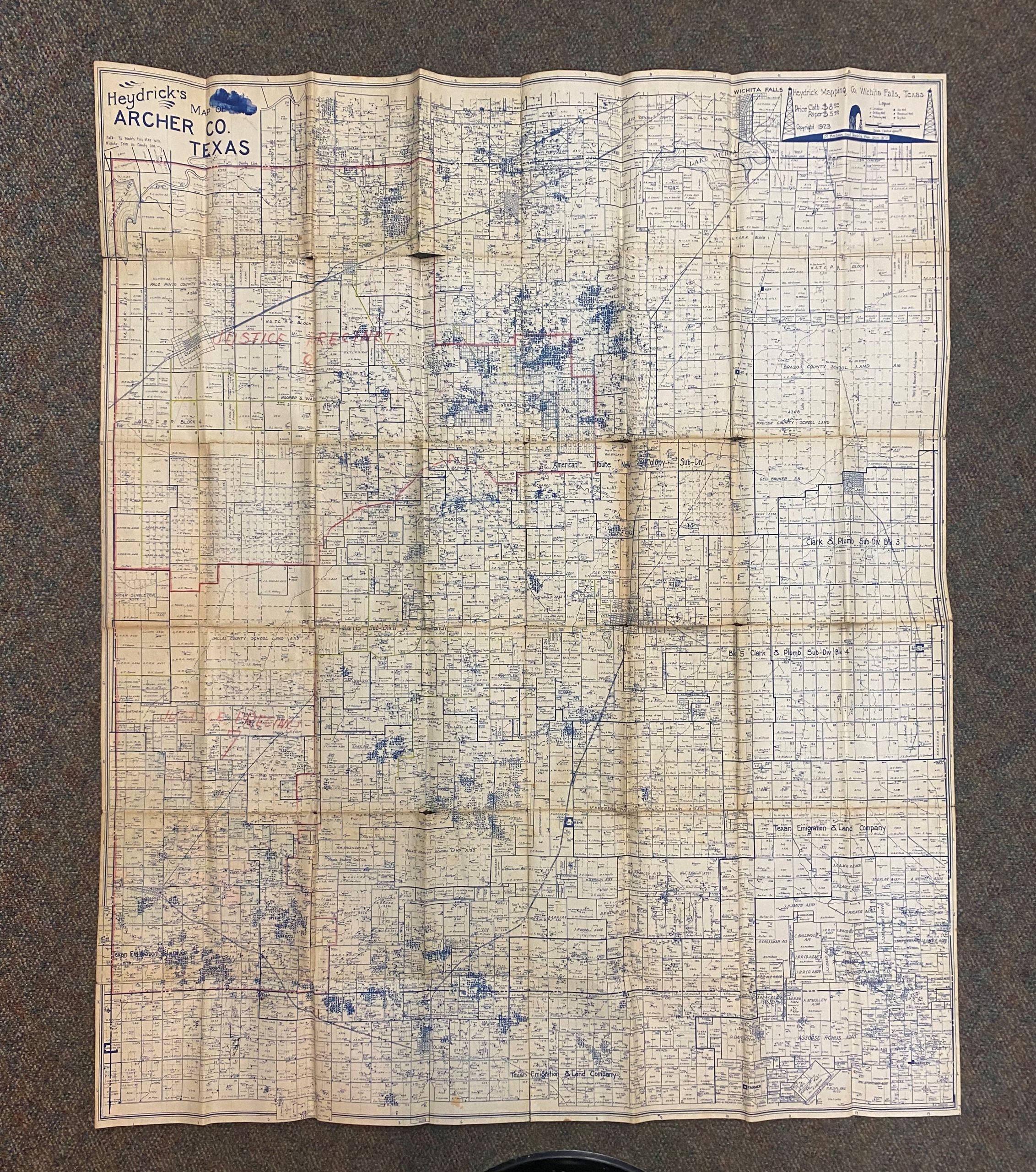
Heydrick Mapping Co. 1923 Heydrick’s Map of Archer Co., Texas
Out of stock
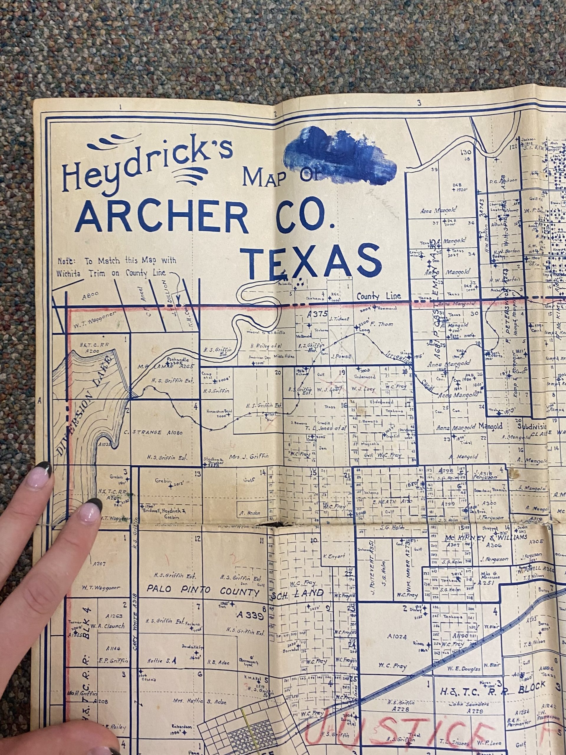
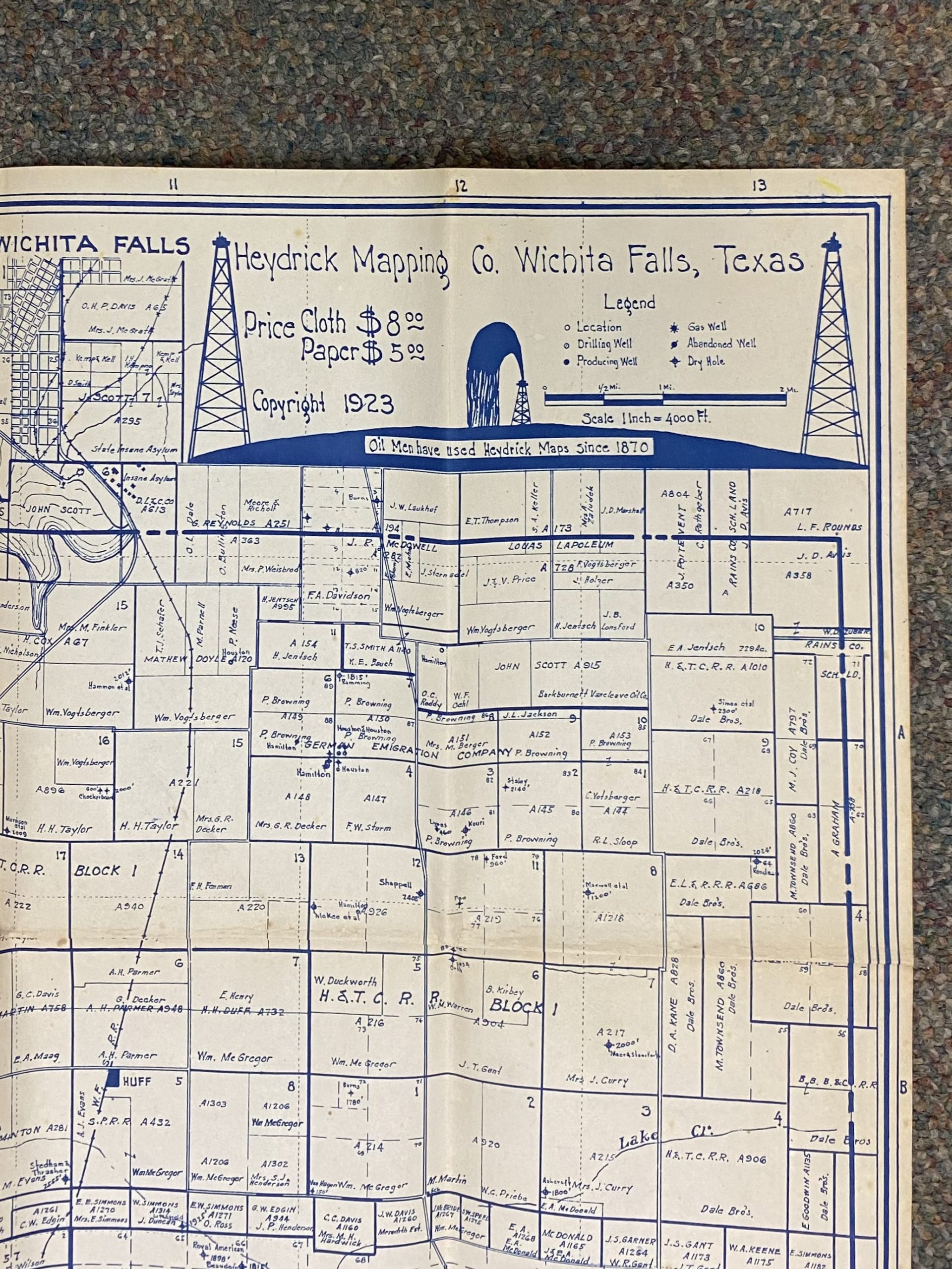
Extra large blue line map. 40 1/2 x 48 1/4 inches folded. Map from 1923 showing Archer County, in northern Texas, with key to the various types of wells (drilling well, producing well, gas well, abandoned well, dry hole, etc.) Some areas scattered about the entirety of the map contain manuscript outlining properties. In the upper right corner lies the publication information as well as depictions of oil derricks and a gushing well, and a statement which reads “Oil Men Have Used Heydrick Maps Since 1870.”
Size: 40.5 x 48.25 inches
Condition: Fair
Map Maker: Heydrick Mapping Co.
Original Production Year: 1923
Year: 1923
Condition: Fair
Map Maker: Heydrick Mapping Co.
Original Production Year: 1923
Year: 1923
Out of stock


