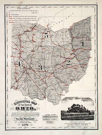
Historical Map of Ohio
Out of stock
This map was made by H.F. Walling and O.W. Gray in 1872 for the New Topographical Atlas of Ohio. This steel plate engraved historical map of Ohio shows Indian trails, villages, and “war paths”, military expeditions, forts, and battle sites.
Size: 11.25 x 15 inches
Condition: Very Good
Map Maker: H.F. Walling and O.W. Gray
Coloring: Original Hand Coloring
Year: 1872
Condition: Very Good
Map Maker: H.F. Walling and O.W. Gray
Coloring: Original Hand Coloring
Year: 1872
Out of stock


