Holland
Out of stock
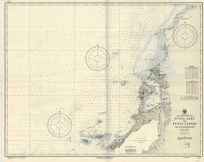
This unique map of Holland, by A.K. Johnston, was created in 1876 for the “Historical Atlas of the World”. Johnstons maps represent a major departure from the standard appearance of maps from this time period. Cities and towns, roads, rivers, and various geographic features are shown on this map. This would be a great addition for a map collector and/or an exceptional gift.
Size: 12 x 17 inches
Condition: Very Good, light age toning, light stains
Map Maker: A.K. Johnston
Coloring: Printed Color
Year: 1876
Condition: Very Good, light age toning, light stains
Map Maker: A.K. Johnston
Coloring: Printed Color
Year: 1876
Out of stock


