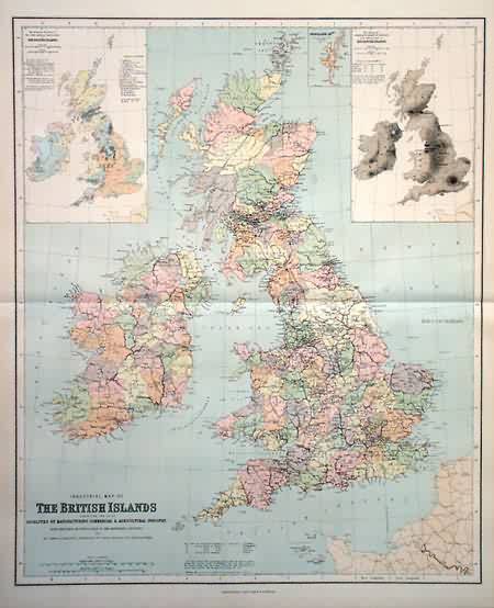
Industrial Map of The British Islands
Out of stock
This large format map came from Philips” Imperial Atlas of the World. Large format maps from this time period are rare, especially in excellent condition. This map is extremely detailed and has nice bright colors. Philips” was a skillful English map making firm located in England.
Size: 20 x 24 inches
Condition: Excellent
Map Maker: George Philip & Son
Coloring: Machine Color
Year: 1896
Condition: Excellent
Map Maker: George Philip & Son
Coloring: Machine Color
Year: 1896
Out of stock


