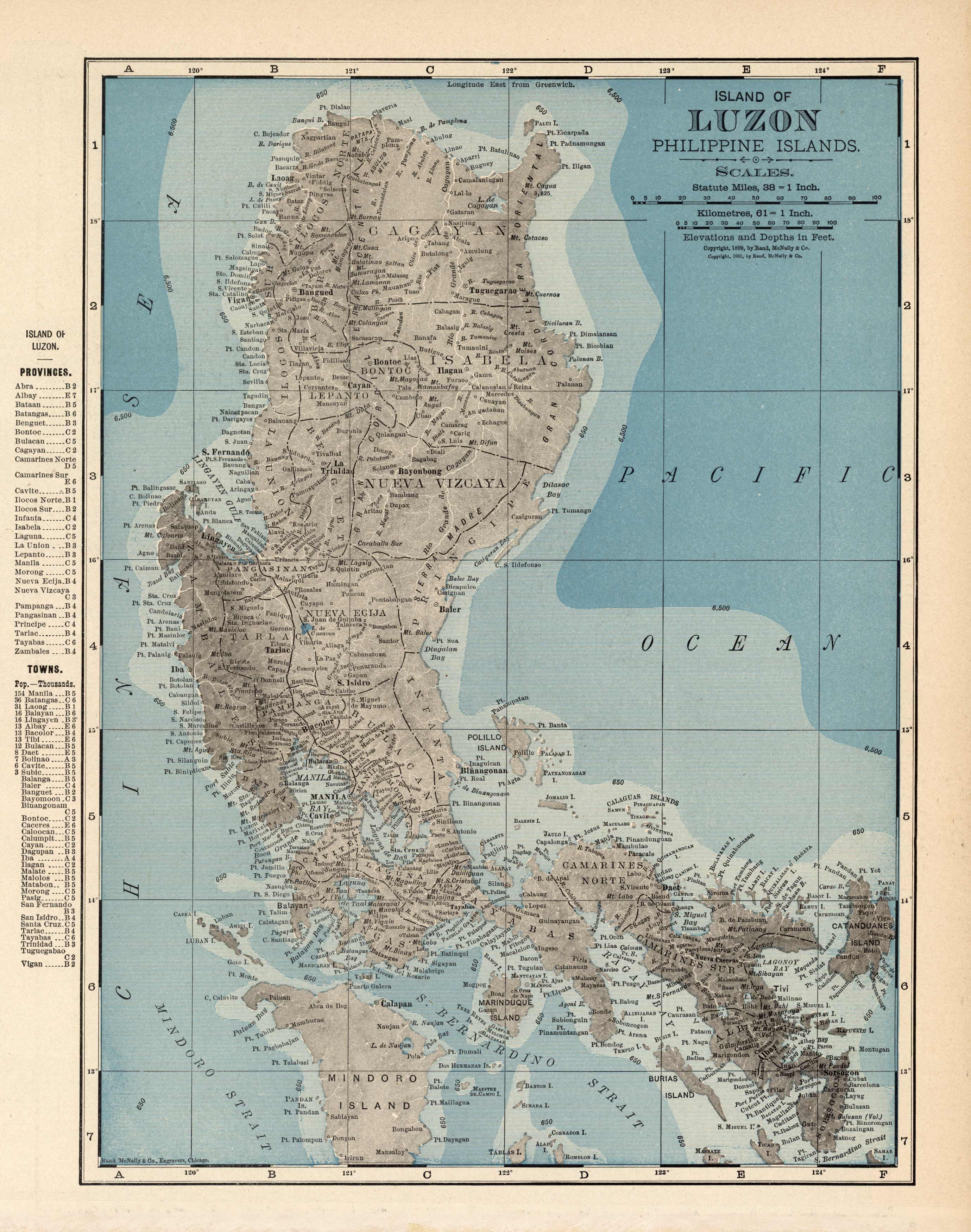
Island of Luzon Philippine Islands
In stock
This map came from the 1905 Rand-McNally Indexed Atlas. The Island of Luzon with the Philippine Islands is illustrated. Provinces, cities, towns, and many topographical features are shown. This map is in very good condition and contains fantastic detailing.
Size: 9 x 12 inches
Condition: Very Good
Map Maker: Rand McNally
Coloring: Printed Color
Year: 1905
Condition: Very Good
Map Maker: Rand McNally
Coloring: Printed Color
Year: 1905
In stock


