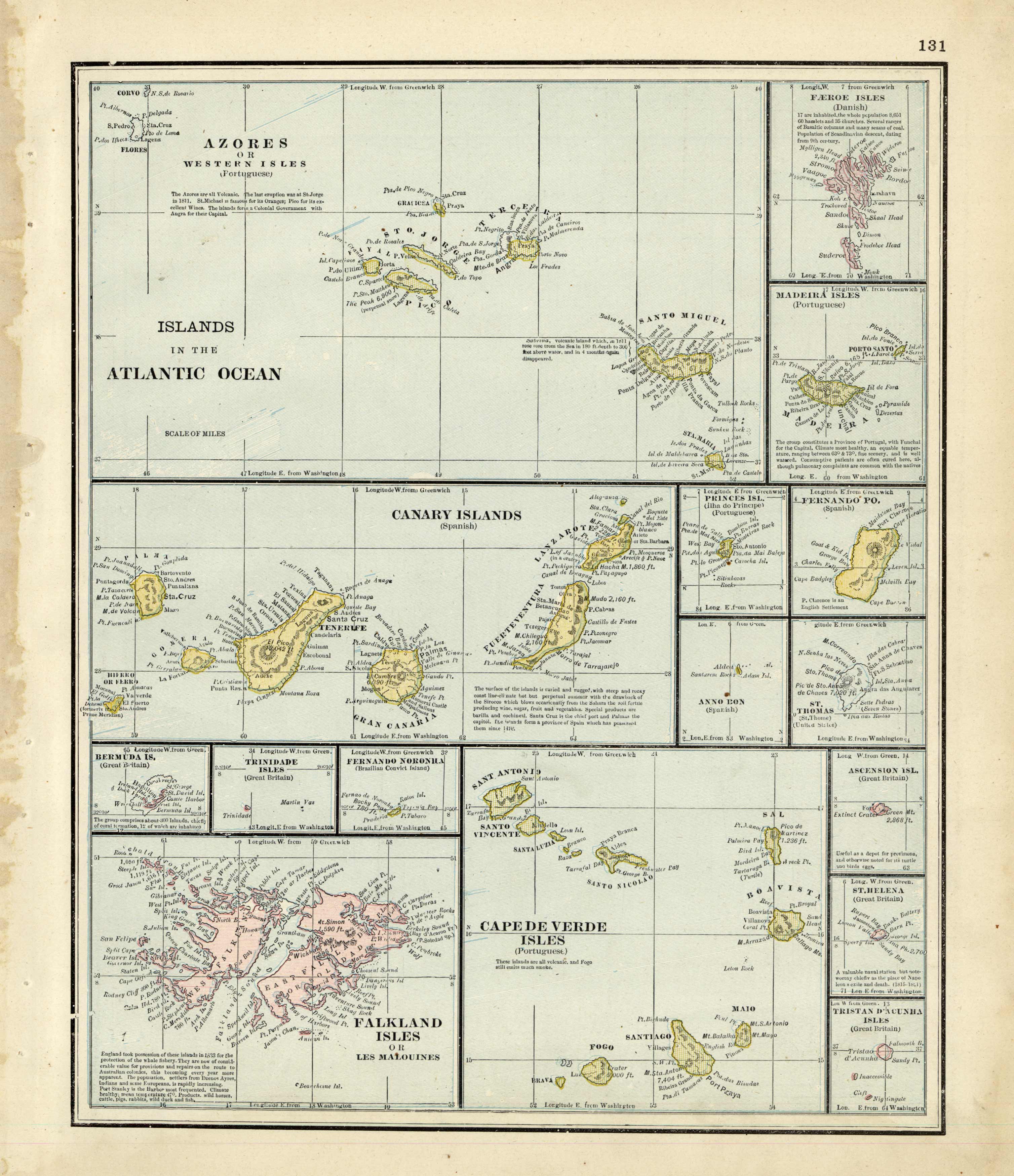
Watson’s 1886 map of the Islands in the Atlantic Ocean
In stock
Full of the bright color that the latest printing process could deliver, this map by Watson is a fine example of the great quality of publishing even small companies were making at the time. This map includes the latest information for the area, with detail and clarity. Condition of this map is very good for the period, with only minimal age toning. This an attractive map from an uncommon late 19th century publisher.
Size: 10 x 12.5 inches
Condition: Very Good
Map Maker: Watson
Coloring: Printed Color
Year: 1886
Condition: Very Good
Map Maker: Watson
Coloring: Printed Color
Year: 1886
In stock


