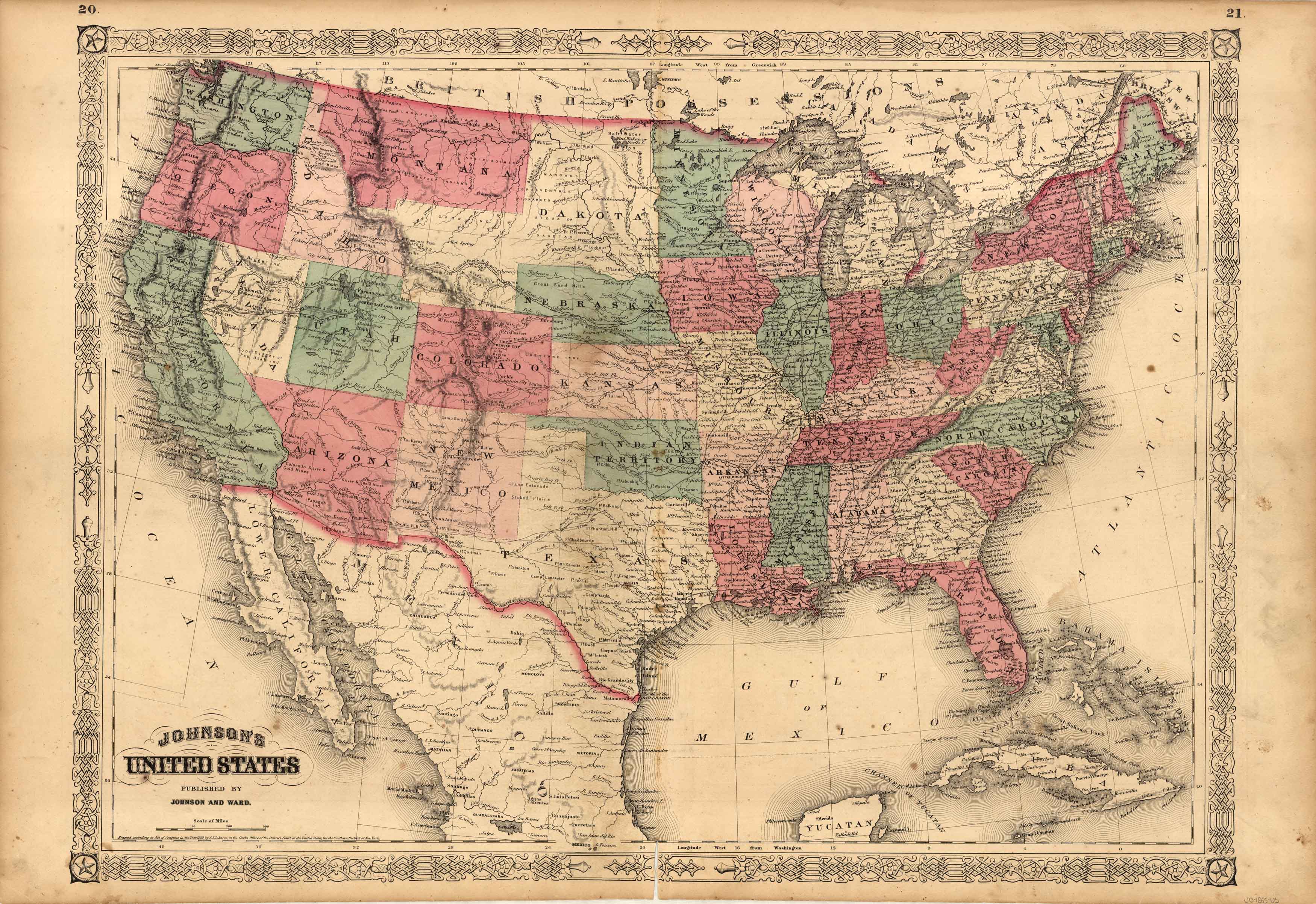
Johnson’s United States
In stock
This finely detailed double-page map came from Johnson’s New Illustrated (Steel Plate) Family Atlas. Map shows cities and towns, rail lines, rivers and lakes, and wagon trails/roads. Each region is individually colored, and includes the traditional decorative border.
Size: 23 x 17 inches
Condition: Very Good
Map Maker: A. J. Johnson
Coloring: Original Hand Color
Year: 1865
Condition: Very Good
Map Maker: A. J. Johnson
Coloring: Original Hand Color
Year: 1865
In stock


