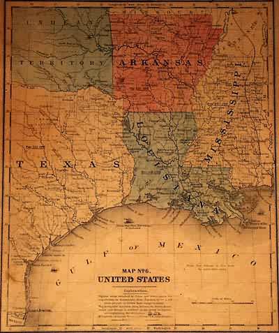
Map No.6 United States
Out of stock
This map was created by Roswell C. Smith for ‘smith’s Atlas of Modern and Ancient Geography.” The original hand-coloring highlights several of the states on the map. Cities, towns, rivers and railroads are all shown. This map also depicts Oklahoma as Indian Territory.
Size: 9.5 x 11.5 inches
Condition: Very Good.
Map Maker: Roswell C. Smith
Coloring: Original Hand Coloring
Year: 1855
Condition: Very Good.
Map Maker: Roswell C. Smith
Coloring: Original Hand Coloring
Year: 1855
Out of stock


