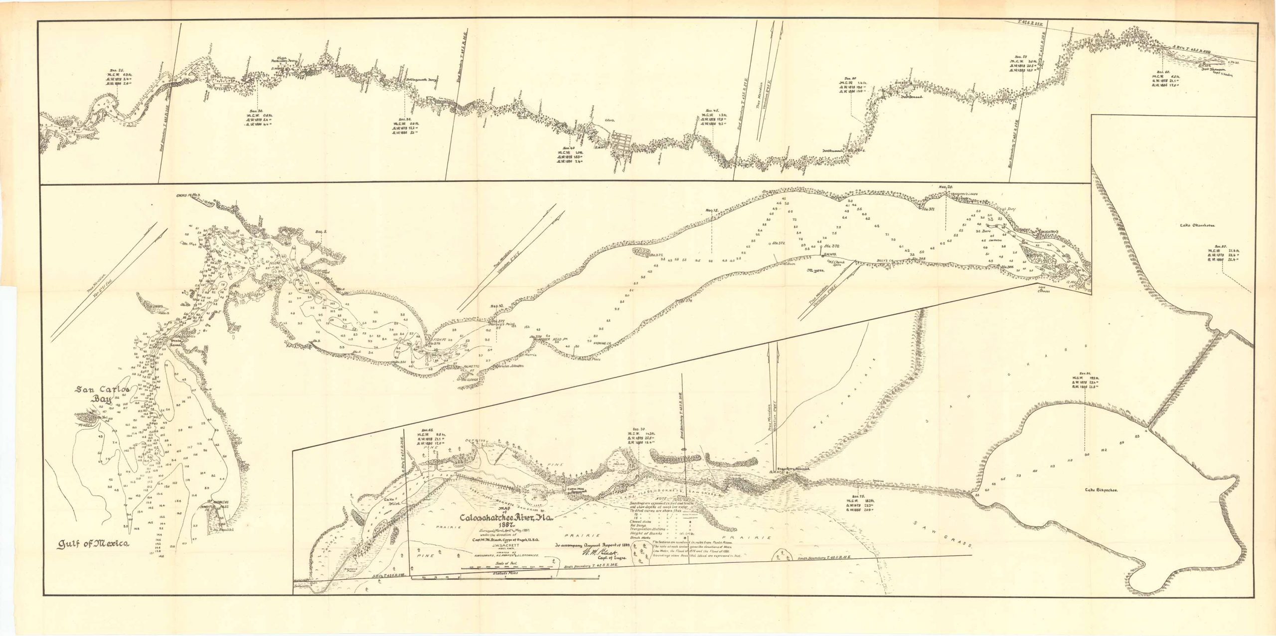
Map of Caloosahatchee River, Florida 1887
Out of stock
Map of Caloosahatchee River, Florida 1887; surveyed, (March, April and May 1887) under the direction of Captain W.M. Black, Corps of Engineers U.S.A. By J.W. Sackett Asst. Engineer, and assisted by R. Woodward, A.C. Harper, and J.L. Brownlee. This map comes with detailed Notes to help identify certain markings, features, soundings, and the differences between each sub-section on the map. In addition to soundings and coordinates this map features the following man-made and natural landmarks: The Gulf of Mexico, Matanza’s Pass, Bowditch Pass, San Carlos Bay, Lake Flirt, Bonnet Lake, Fisherman’s Island, Devils Elbow, Fort Simmons, Fort Thompson, Lake Okeechobee, Lake Hicpochee, pines and prairies among others.
Size: 36 x 17 inches
Condition: Very good
Map Maker: U.S. Corps of Engineers
Original Production Year: 1887
Coloring: Black & White
Year: 1887
Condition: Very good
Map Maker: U.S. Corps of Engineers
Original Production Year: 1887
Coloring: Black & White
Year: 1887
Out of stock


