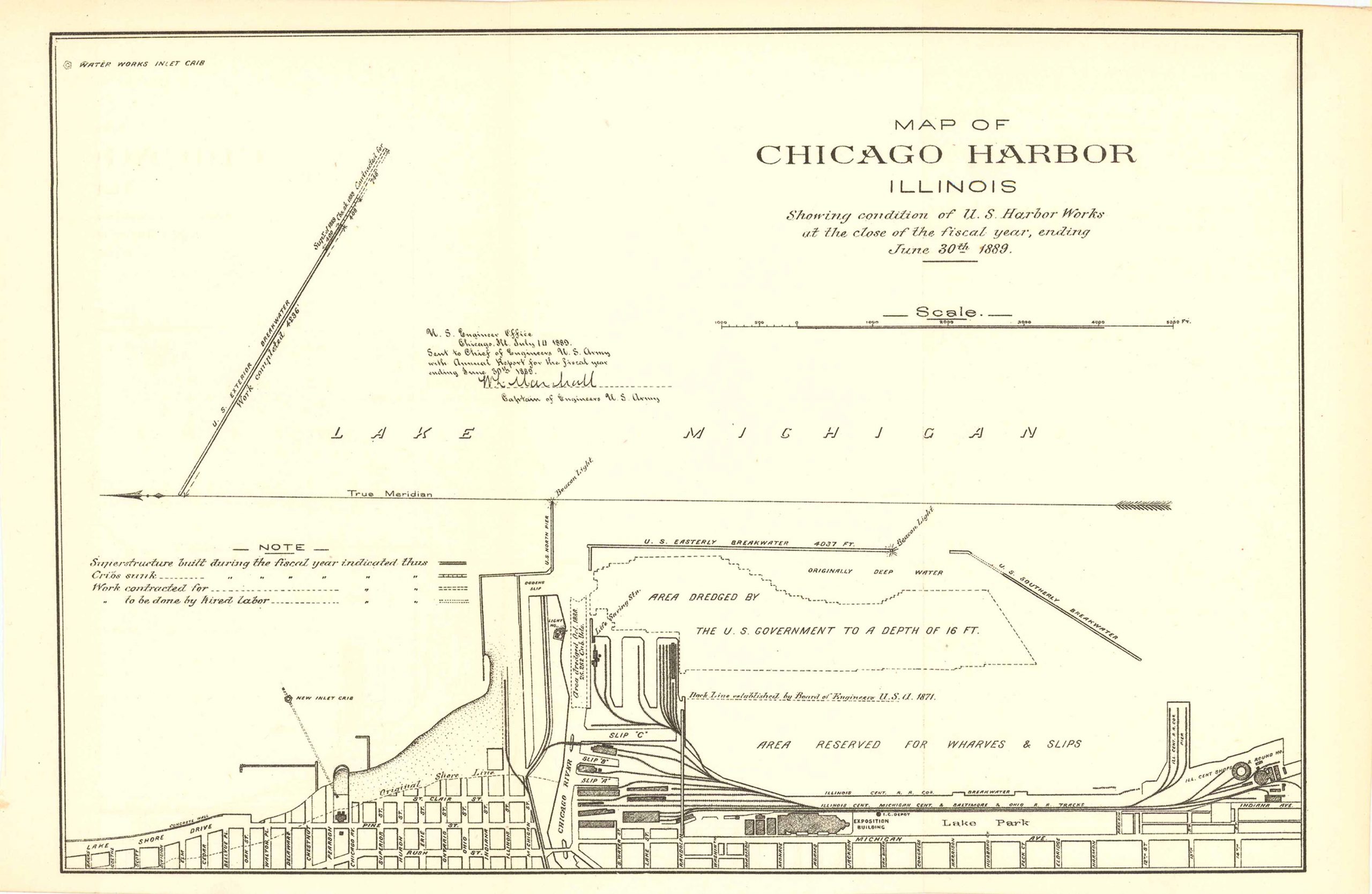
Map of Chicago Harbor, Illinois 1889
Out of stock
Map of Chicago Harbor, Illinois, showing condition of U.S. harbor works at the close of the fiscal year ending June 30, 1889. Drawn up by the U.S. engineer office, Chicago IL. July 14, 1889. This map features: Lake Michigan along with a detailed map of Chicago shoreline that lines the harbor showcasing the area dredged by the U.S. government and the area reserved for wharves and slips. This map is in very good condition with only some slight age toning.
Size: 12.25 x 8.5 inches
Condition: Very good
Map Maker: U.S. Corps of Engineers
Original Production Year: 1889
Coloring: Black & White
Year: 1889
Condition: Very good
Map Maker: U.S. Corps of Engineers
Original Production Year: 1889
Coloring: Black & White
Year: 1889
Out of stock


