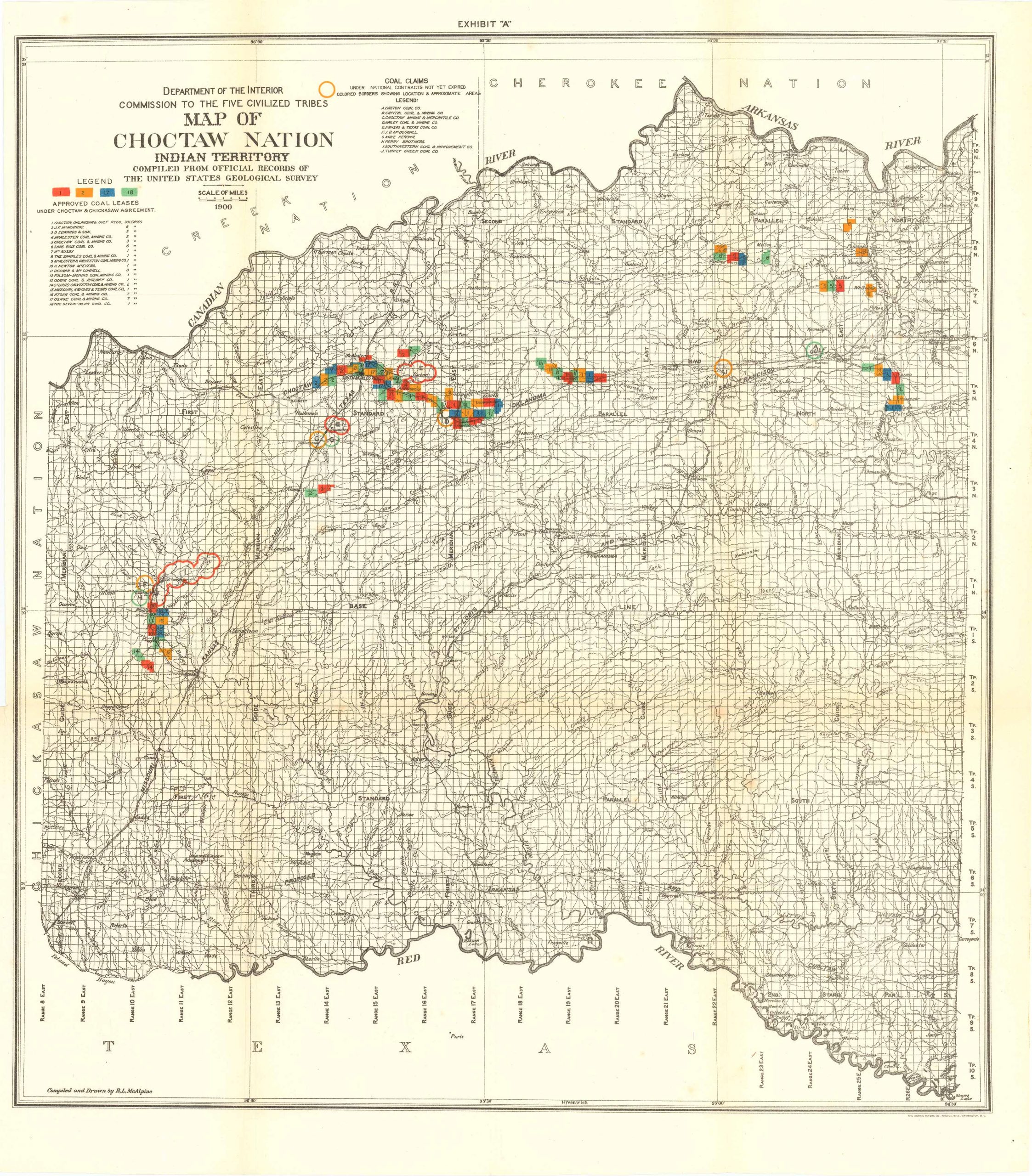
Map of Choctaw Nation Indian Territory, Compiled from U.S. Geological Survey 1900
Out of stock
Department of the Interior Commission to the Five Civilized Tribes: Map of Choctaw Nation Indian Territory, Compiled from Official Records of the United States Geological Survey, 1900. This detailed map is of the Choctaw Nation and features it’s border neighbors, Texas and the Creek and Cherokee Nations. Also featured is a legend, list of coal claims, and a list of coal claims approved under the Chickasaw Nation, and the Arkansas and Red Rivers to the North and South.
Size: 18.25 x 20.25 inches
Condition: Excellent
Map Maker: UNITED STATES GEOLOGICAL SURVEY
Original Production Year: 1900
Coloring: Printed Color
Year: 1900
Condition: Excellent
Map Maker: UNITED STATES GEOLOGICAL SURVEY
Original Production Year: 1900
Coloring: Printed Color
Year: 1900
Out of stock


