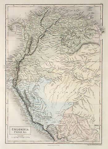
Map of Colombia and Peru
Out of stock
This hand colored, steel engraved map is from Black’s General Atlas printed in 1844. Details on this beautiful map of Colombia and Peru include the names of regions and important cities, illustrations of rivers, lakes and hills, and the names of existing Indian tribes. The development of the countries is evident on this map by the concentration of cities along the rivers and coast and the unpopulated central region.
Size: 10 x 14.5 inches
Condition: Excellent
Map Maker: Adam and Charles Black
Coloring: Hand Coloring
Year: 1844
Condition: Excellent
Map Maker: Adam and Charles Black
Coloring: Hand Coloring
Year: 1844
Out of stock


